Drone spheres, stitched for you
Upload the raw photos of each sphere, straight from the SD card: we stitch them, correct them and build the aerial tour on a map.
Try it free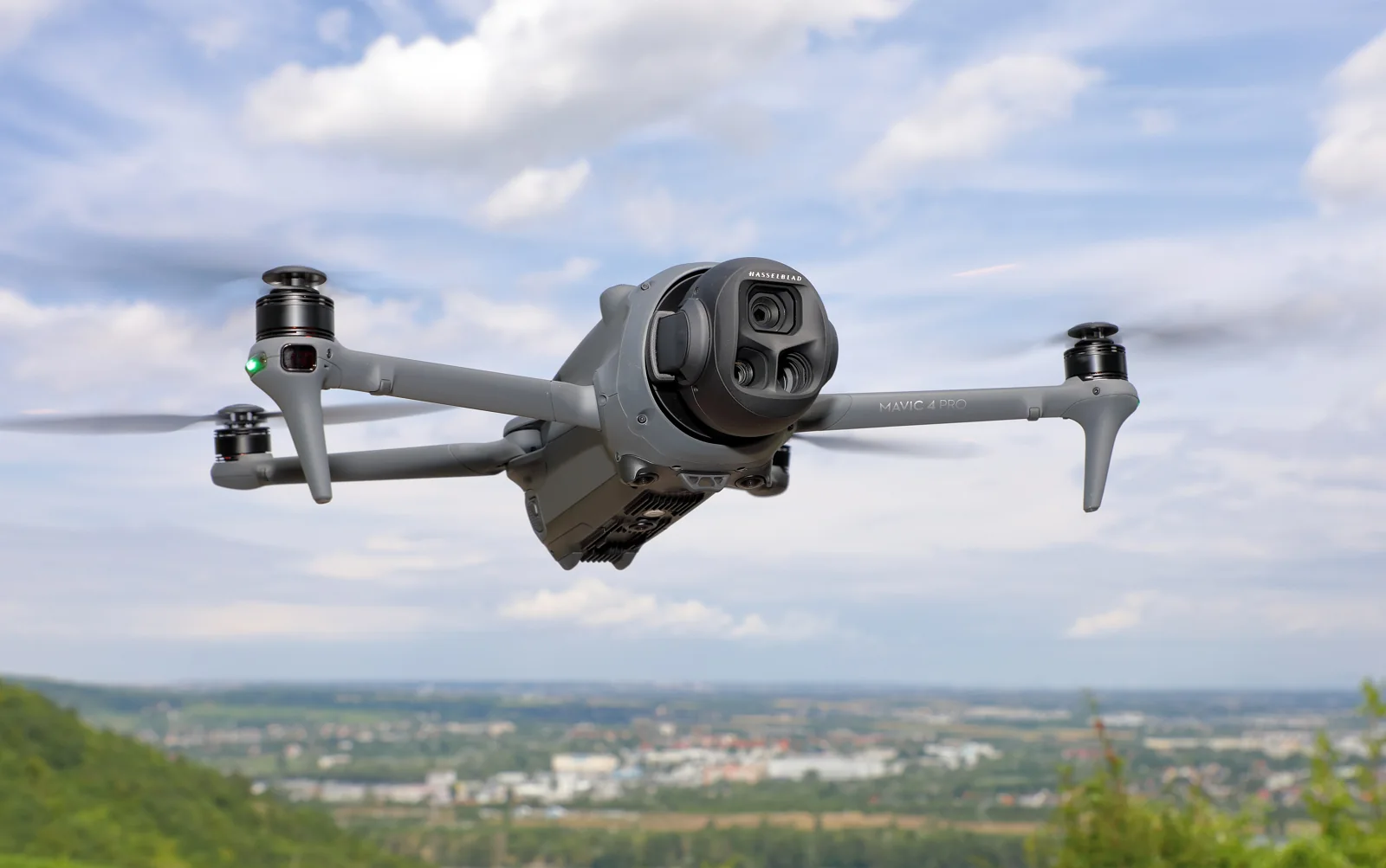
Stitched from the raw photos
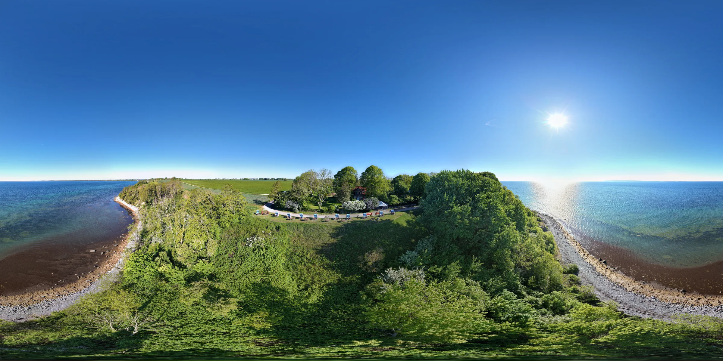
Each sphere is built on our servers from the SD card, at 8192 × 4096.
Straight horizon, seamless sky
Even over the sea; a clear blue sky is smoothed, the sun and the clouds kept as shot.
North corrected, placed on the map
North recalculated from the sun or the coastline; each sphere at its GPS position and height.
From the SD card to the sphere
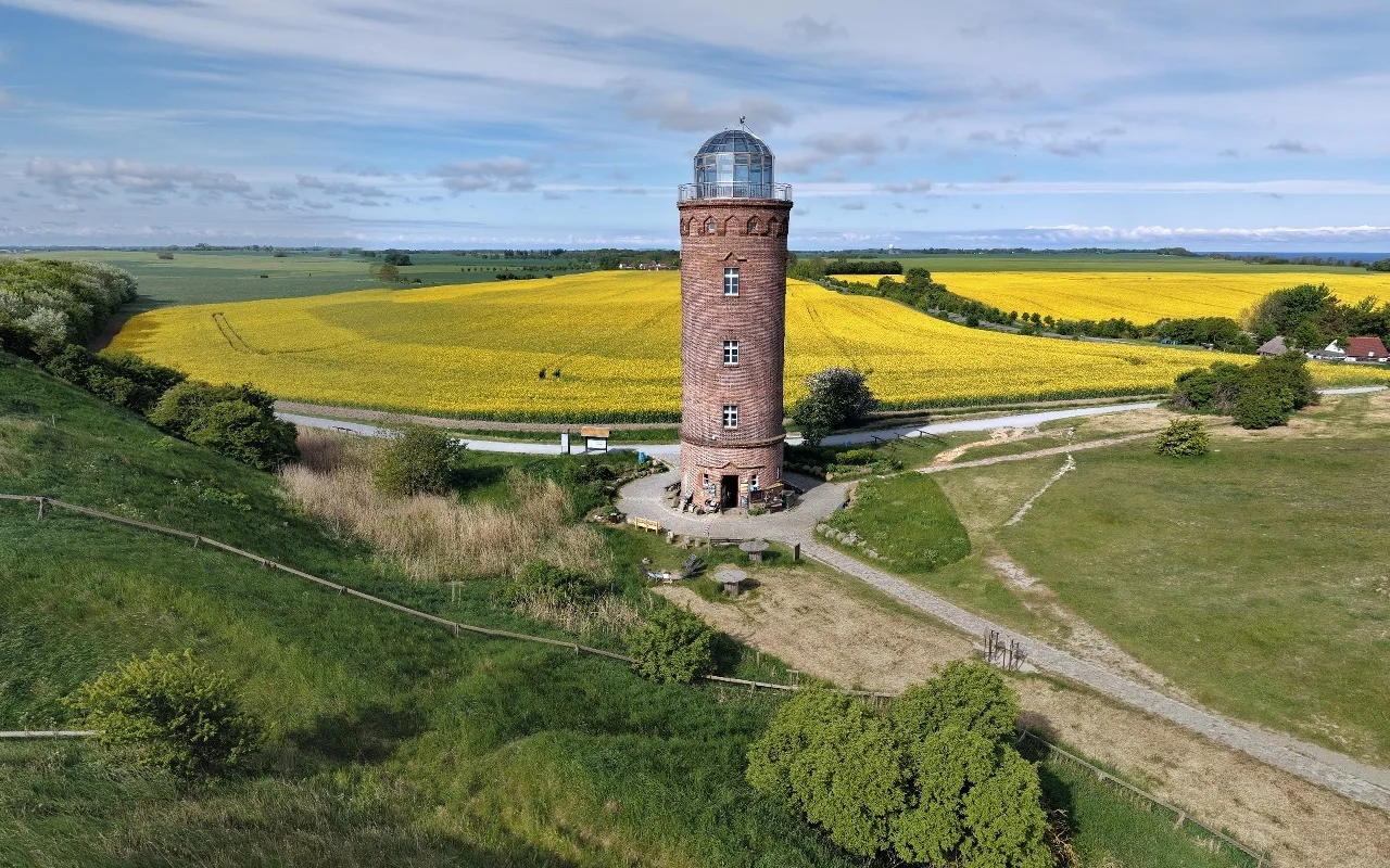
The 43 photos of one sphere shot over Cape Arkona, as the drone saved them: 37,323 points tie them together into one panorama.
How it works
- Drone
- PANORAMA / sphere 0126 JPG
- PANORAMA / sphere 0234 JPG
- PANORAMA / sphere 0325 JPG
- PANORAMA / sphere 0429 JPG
Fly the spheres
Keep the raw photos: the drone saves each sphere in its own folder on the SD card. We stitch them for you.
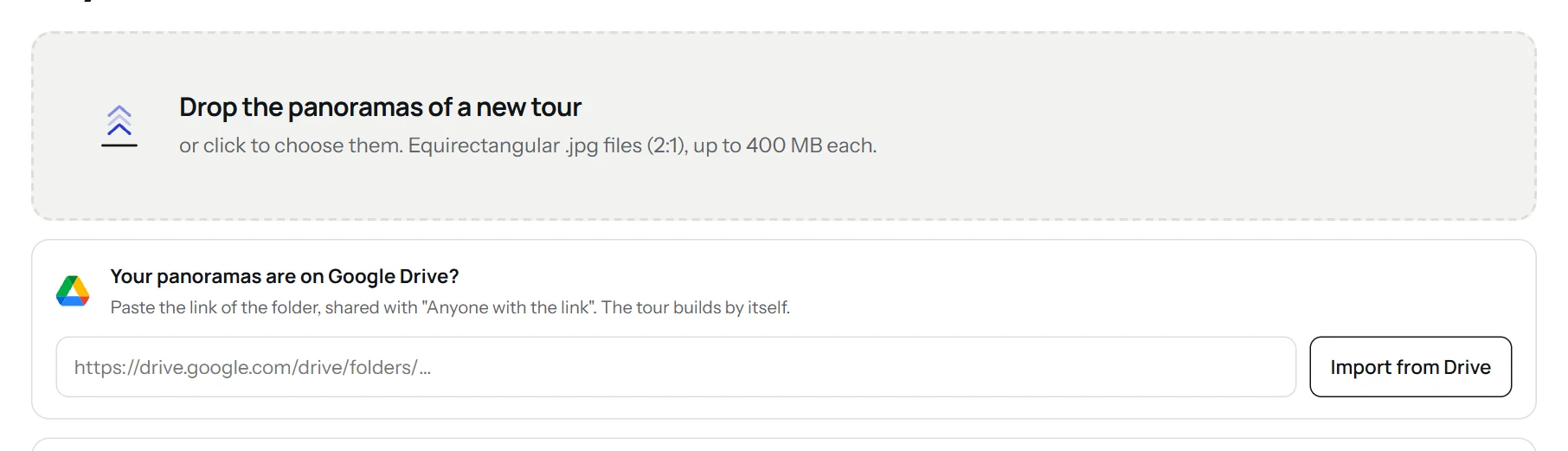
Drop them in the app
Choose the sphere folders in the “Drone panoramas” area, next to your ground panoramas if you have some.
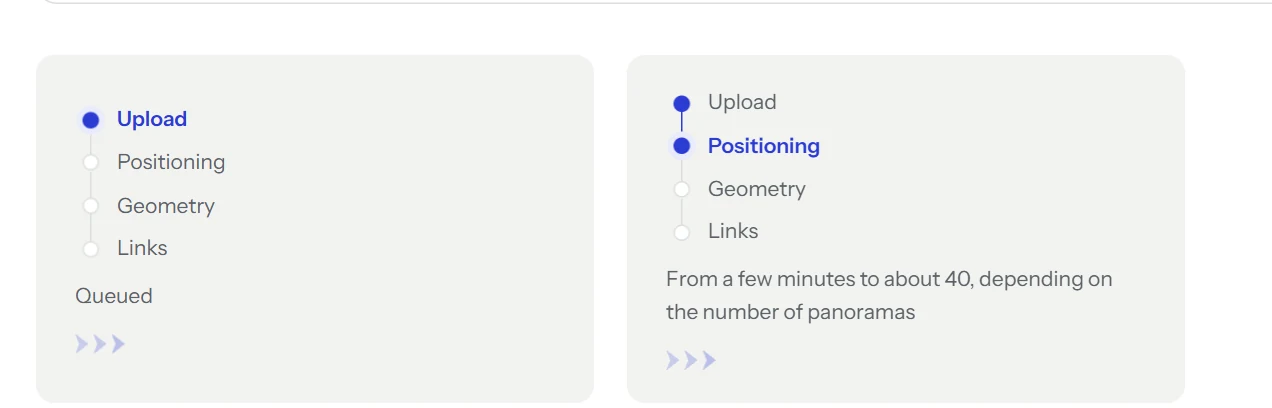
We stitch and correct
Each sphere is stitched on our servers, then placed on the map. An email tells you when it is ready.
Adjust and publish
Fly from one viewpoint to the next on the 3D map, rename the places, then download the tour or embed it in a website.
What to upload
- Files
- One folder per sphere with the raw photos of the sphere panorama mode, any brand: at least 20 photos per sphere. Panoramas already stitched by the drone, in 2:1, work too.
- DJI drones
- Turn on saving the original photos of the Sphere panorama in DJI Fly: the SD card then keeps one folder per sphere in DCIM, PANORAMA.
- Upload
- In the app, choose the folders in the “Drone panoramas” area, below the upload area.
Tours shot with this camera
For good spheres
Several heights
Shoot the same spot at several heights: the tour goes up and down between them.
Wind
Shoot a sphere again if the wind moved the drone: the best stitched one is kept.
With ground panoramas
Upload ground panoramas of the same place with the spheres: the aerial view opens from the tour.
What you get
- An aerial tour on a 3D map, flying from one viewpoint to the next.
- The places named, with a menu of viewpoints.
- The tour to download or to embed in a website.
Good to know
Photos of plain sky are placed only when the drone writes its gimbal angles; otherwise that part of the sky is recreated.
Other cameras
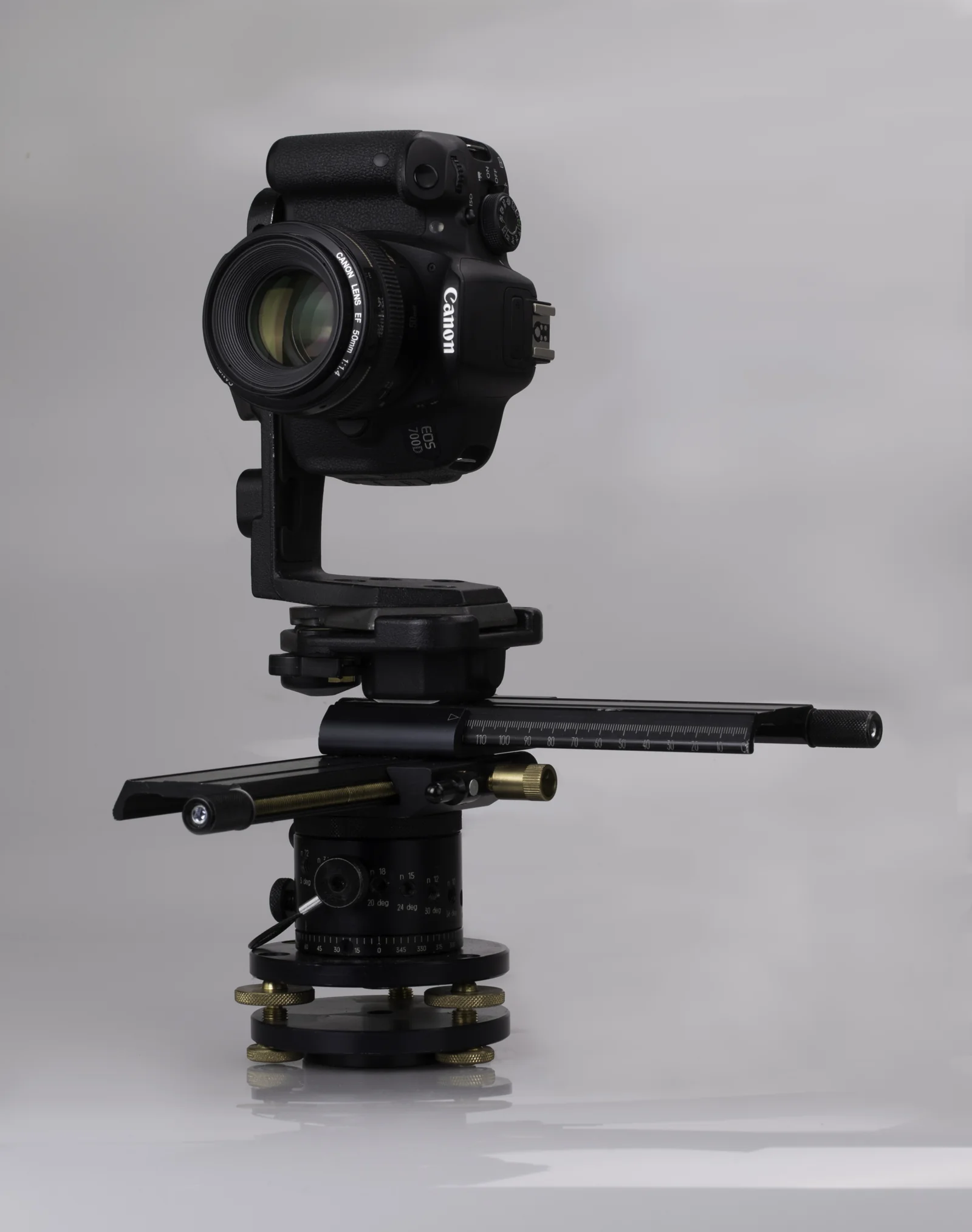 DSLRPTGui panoramas at full resolution, up to 16K.
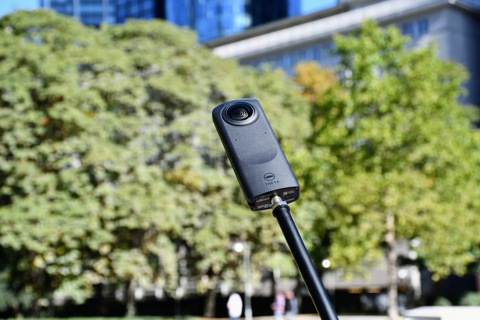 Ricoh ThetaThe JPGs straight from the camera, already stitched.
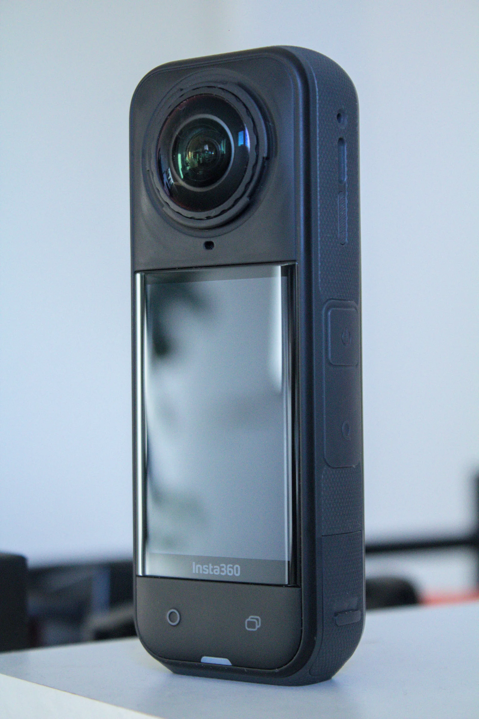 Insta360360 JPGs from the app or Studio, with floor plan and dollhouse.
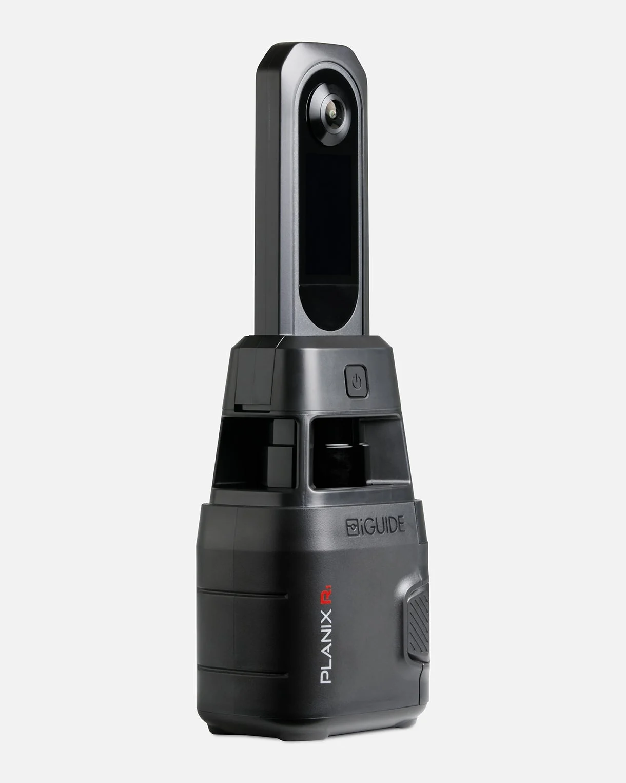 iGUIDEThe project folder opened in iGUIDE Stitch, placed by its laser.
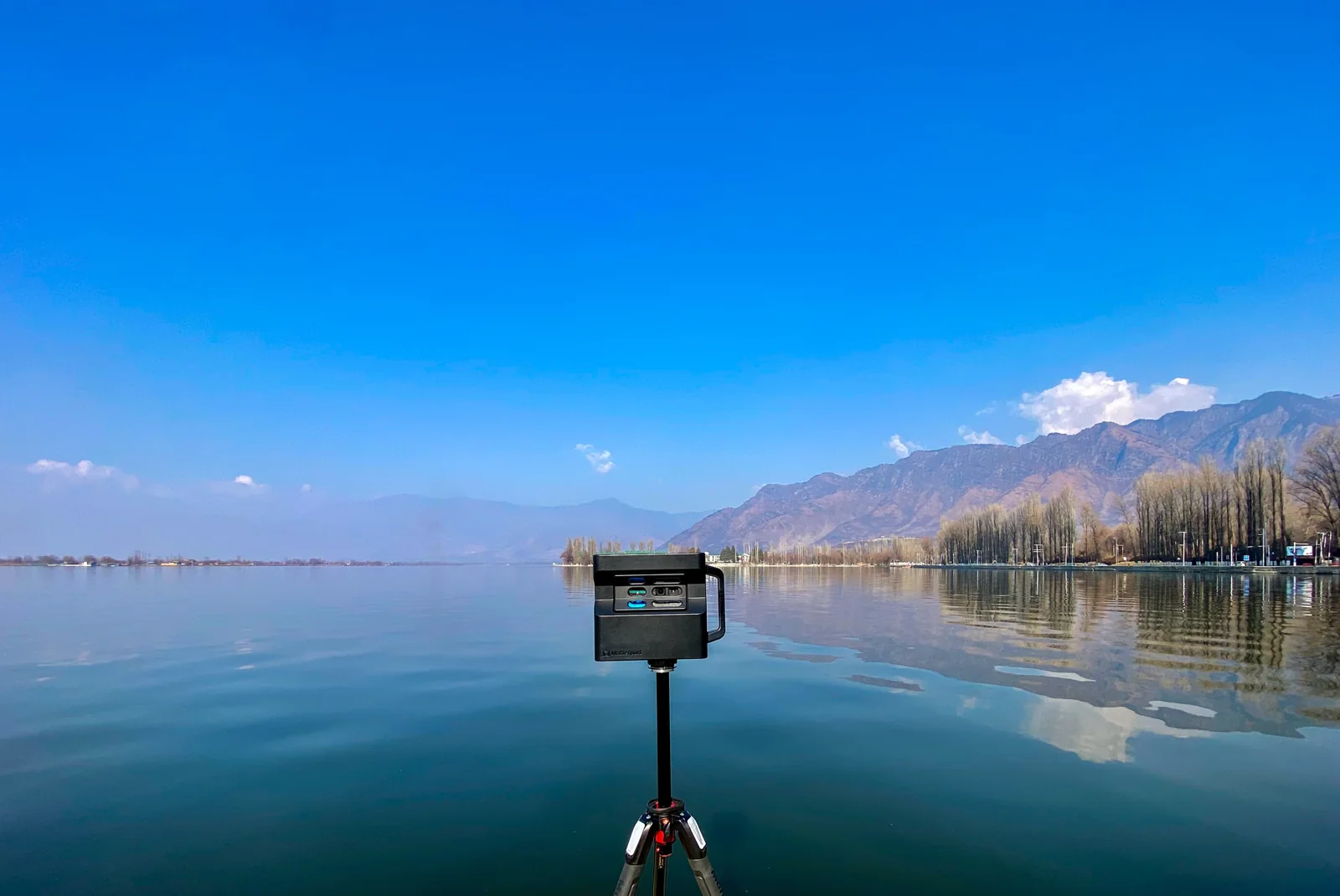 MatterportThe 360° views of your space, downloaded or imported from Street View.
A question about your files? Write to us: [email protected]
Try it free