Ricoh Theta JPGs as a 3D tour
The Theta stitches each photo itself: copy the JPGs from the camera and upload them, the 3D tour builds itself.
Try it free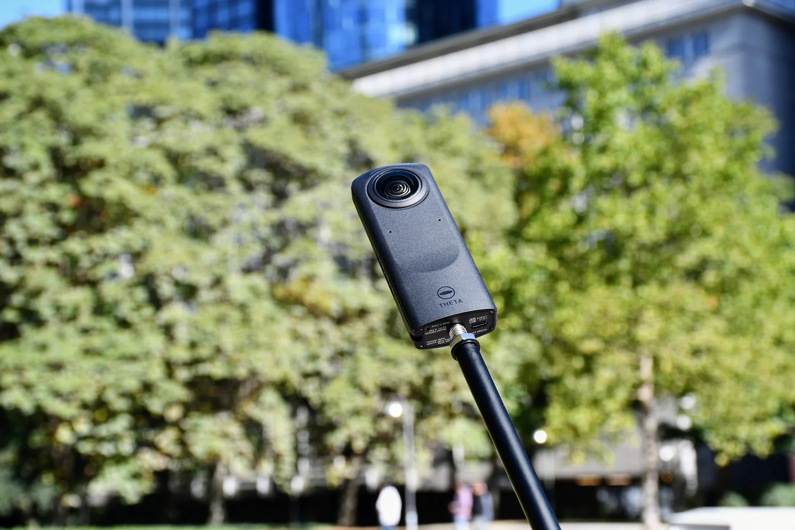
Straight from the camera
The Theta stitches each photo itself: copy the JPGs and upload them as they are.
Placed and linked automatically
Positions come from the photos themselves; links and 3D transitions are set for you.
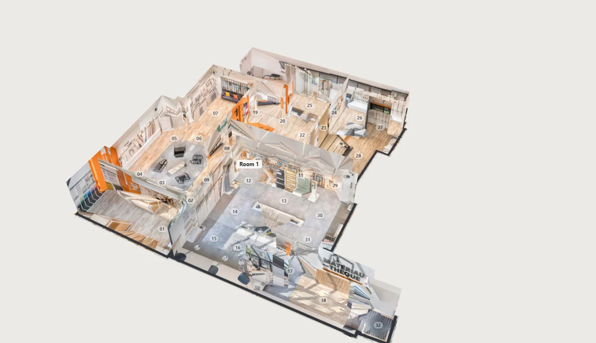
Floor plan and dollhouse
Built from the panoramas, with the stand removed from the nadir.
How it works
- Ricoh Theta
- R0010020.JPG6720 × 3360
- R0010021.JPG6720 × 3360
- R0010022.JPG6720 × 3360
- R0010023.JPG6720 × 3360
Take the photos
The Theta stitches each photo: copy the JPGs from the camera or the RICOH THETA app.
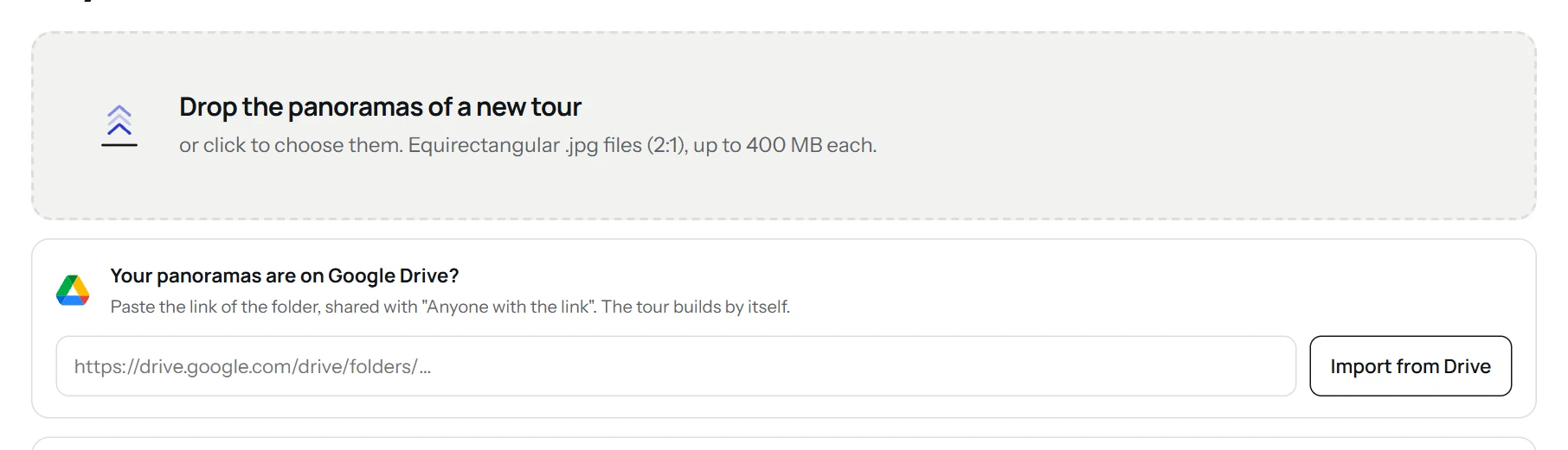
Drop them in the app
Drag the files onto the upload area, paste the link of a Google Drive folder, or import your photos already on Street View.
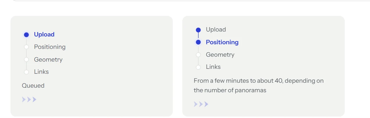
The tour builds itself
Positions, geometry and links are computed on our servers. Close the page: an email tells you when it is ready.
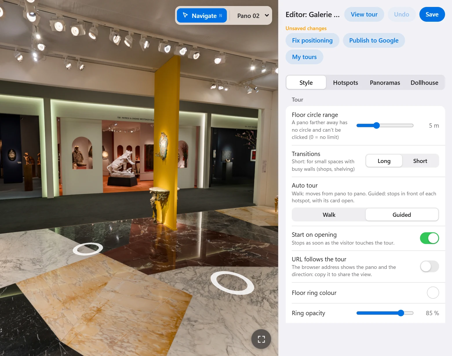
Adjust and publish
Browse the tour, adjust it in the editor, then download it, embed it in a website or publish it to Google Maps.
What to upload
- Files
- The JPG photos from the camera or the RICOH THETA app: they are already equirectangular, 2:1.
- DNG files
- The DNG of a Theta Z1 holds the two lenses unstitched: stitch it first with Ricoh’s software, or upload the JPG.
- Height
- When you upload, give the height of the camera: it sets the scale of the floor plan.
Tours shot with this camera
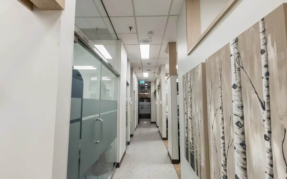
On a Theta shoot
Trigger from your phone
Take each photo from the RICOH THETA app and step out of sight, into the next room if you can.
HDR indoors
Turn on the camera’s HDR mode in rooms with windows: the view outside stays readable.
A stand at a fixed height
A monopod or light stand at the same height for every photo gives the tour its scale.
What you get
- The tour hosted free forever, or as a .zip for your own hosting.
- A code to copy to embed it in a website (WordPress, Wix…).
- The viewpoints published on Google Maps from your account.
- White label: your client’s logo, menu and colors.
Good to know
The Theta records the orientation of each photo, not its position: positions are found from the photos, and the measurements of the floor plan stay approximate.
Up to 150 panoramas per tour, more on request.
Other cameras
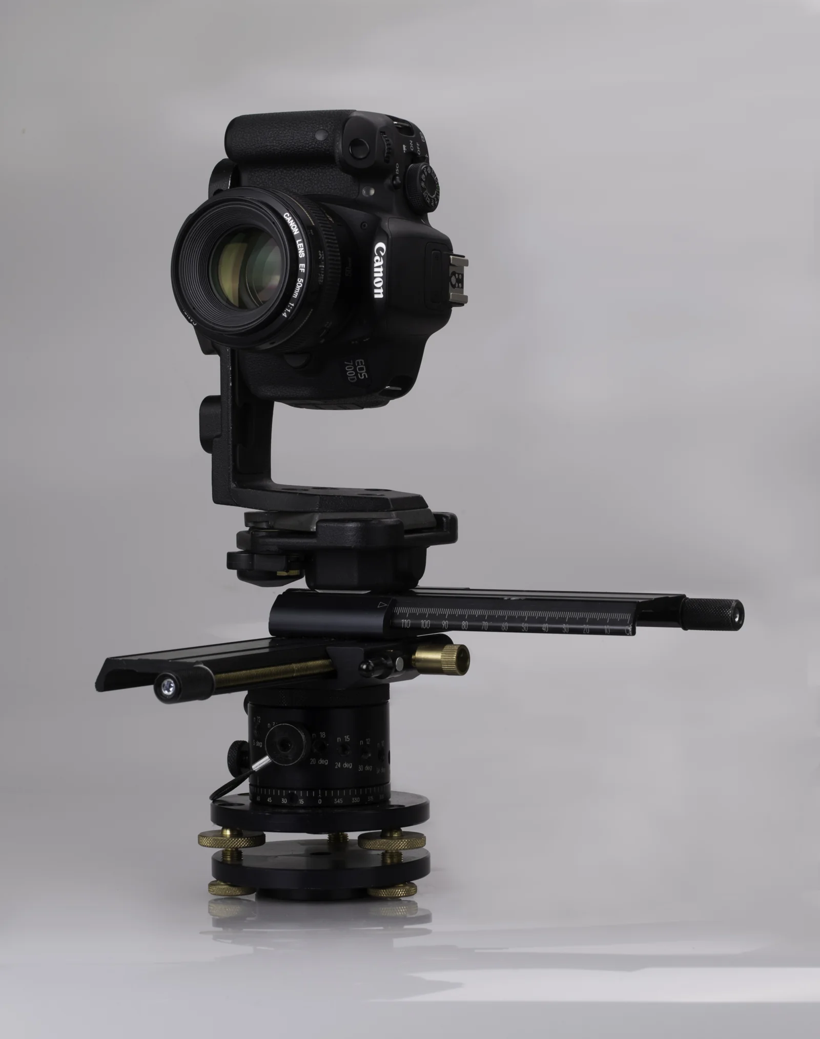 DSLRPTGui panoramas at full resolution, up to 16K.
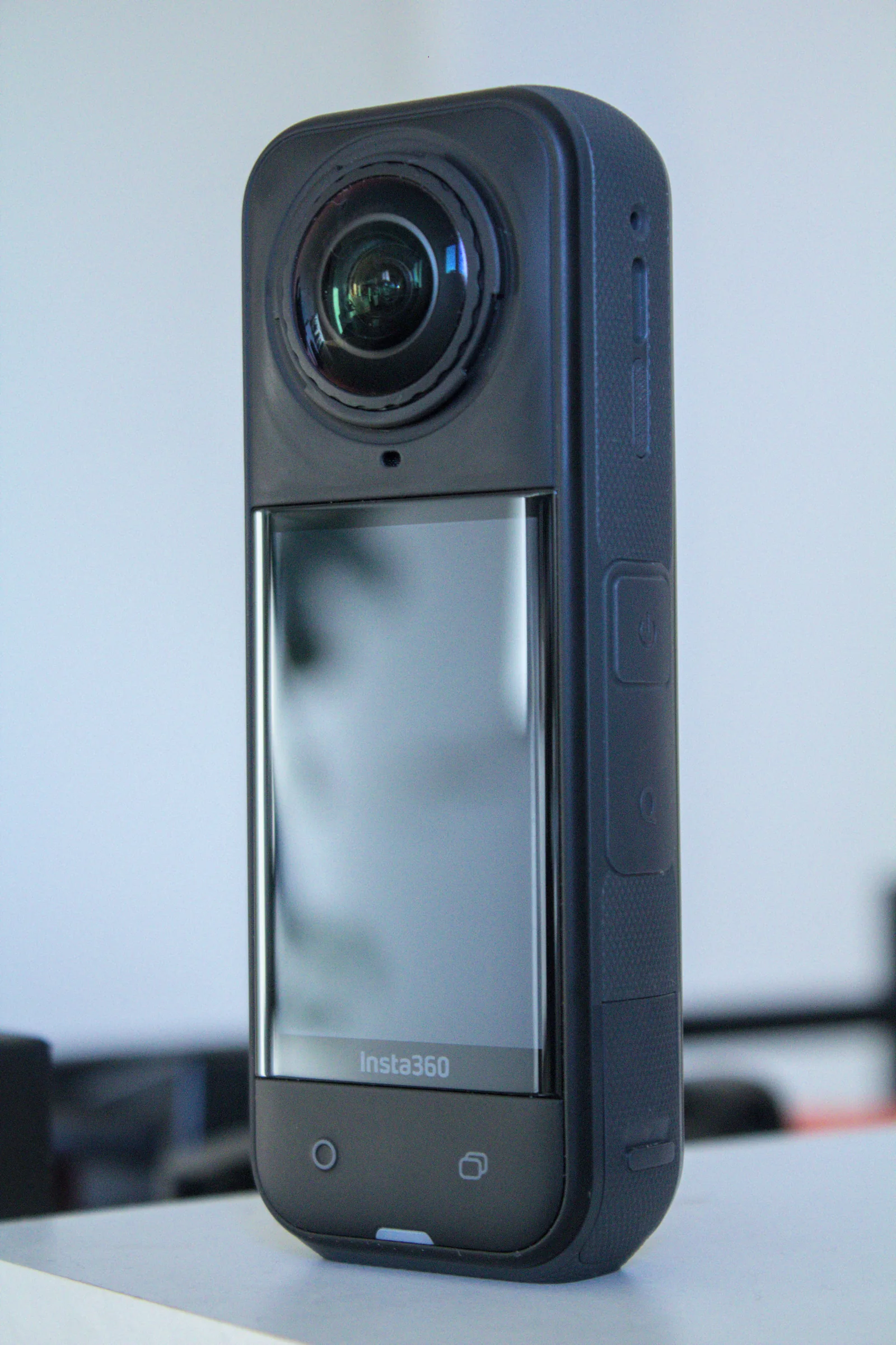 Insta360360 JPGs from the app or Studio, with floor plan and dollhouse.
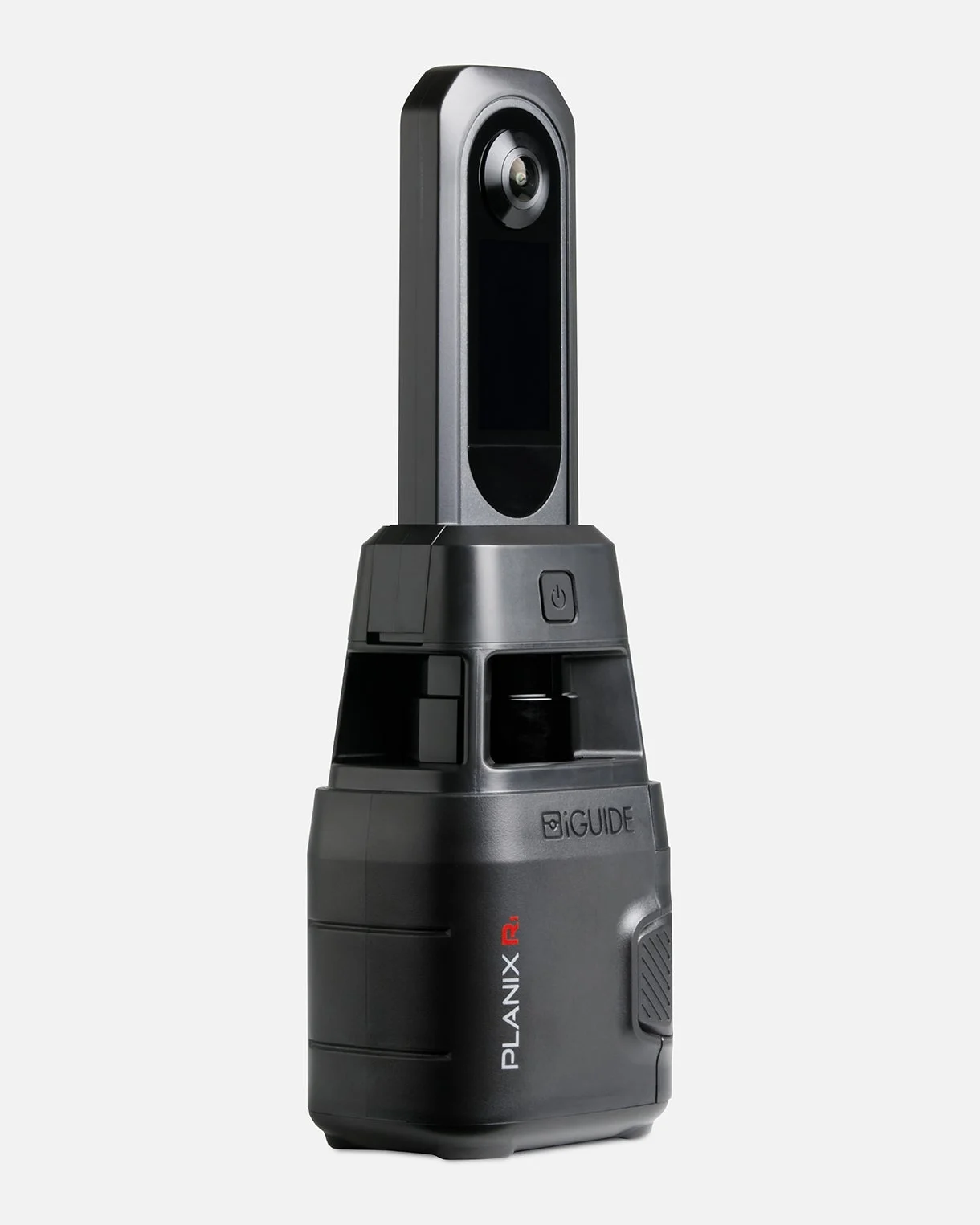 iGUIDEThe project folder opened in iGUIDE Stitch, placed by its laser.
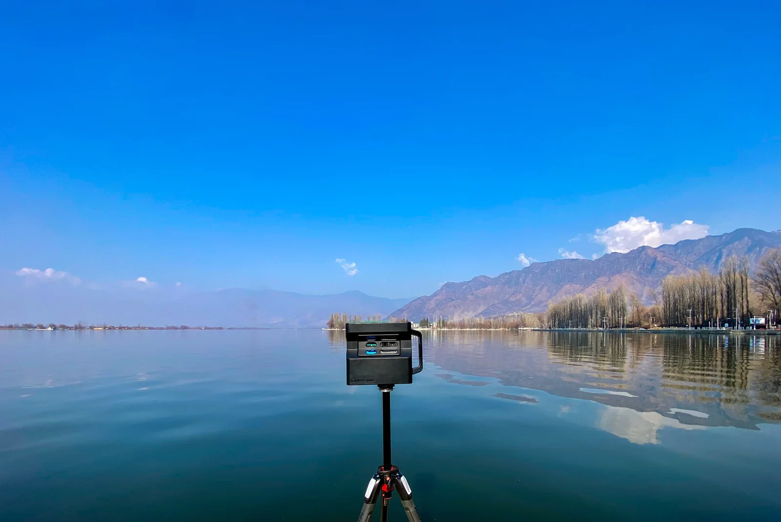 MatterportThe 360° views of your space, downloaded or imported from Street View.
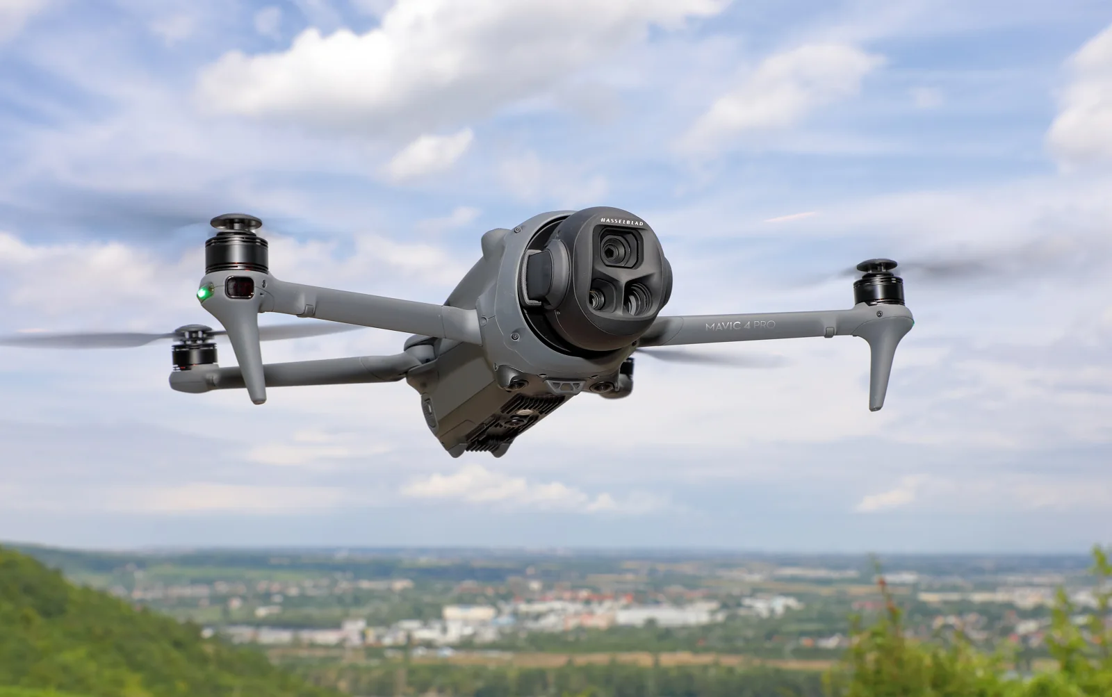 DroneThe raw sphere photos, stitched and corrected for you.
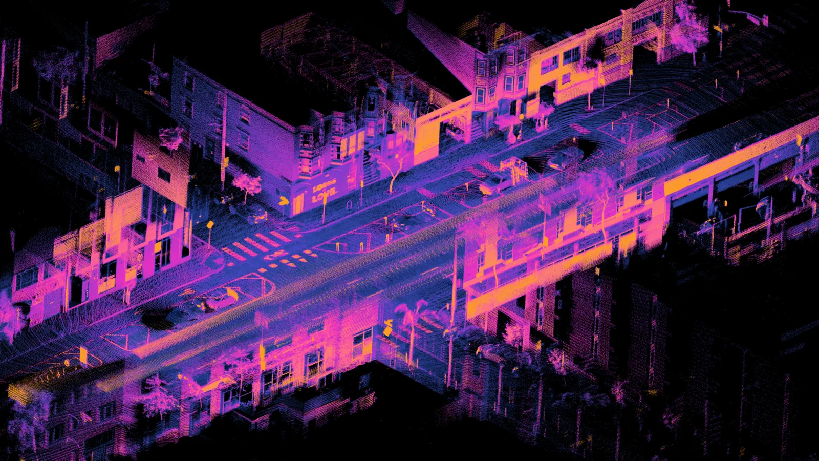 LiDAR (option)A LiDAR of about $400 under your tripod, for measured tours.
A question about your files? Write to us: [email protected]
Try it free