Your iGUIDE projects, placed by the laser
Open your PLANIX project in iGUIDE Stitch, then drop the whole folder: the tour builds itself from your survey.
Try it free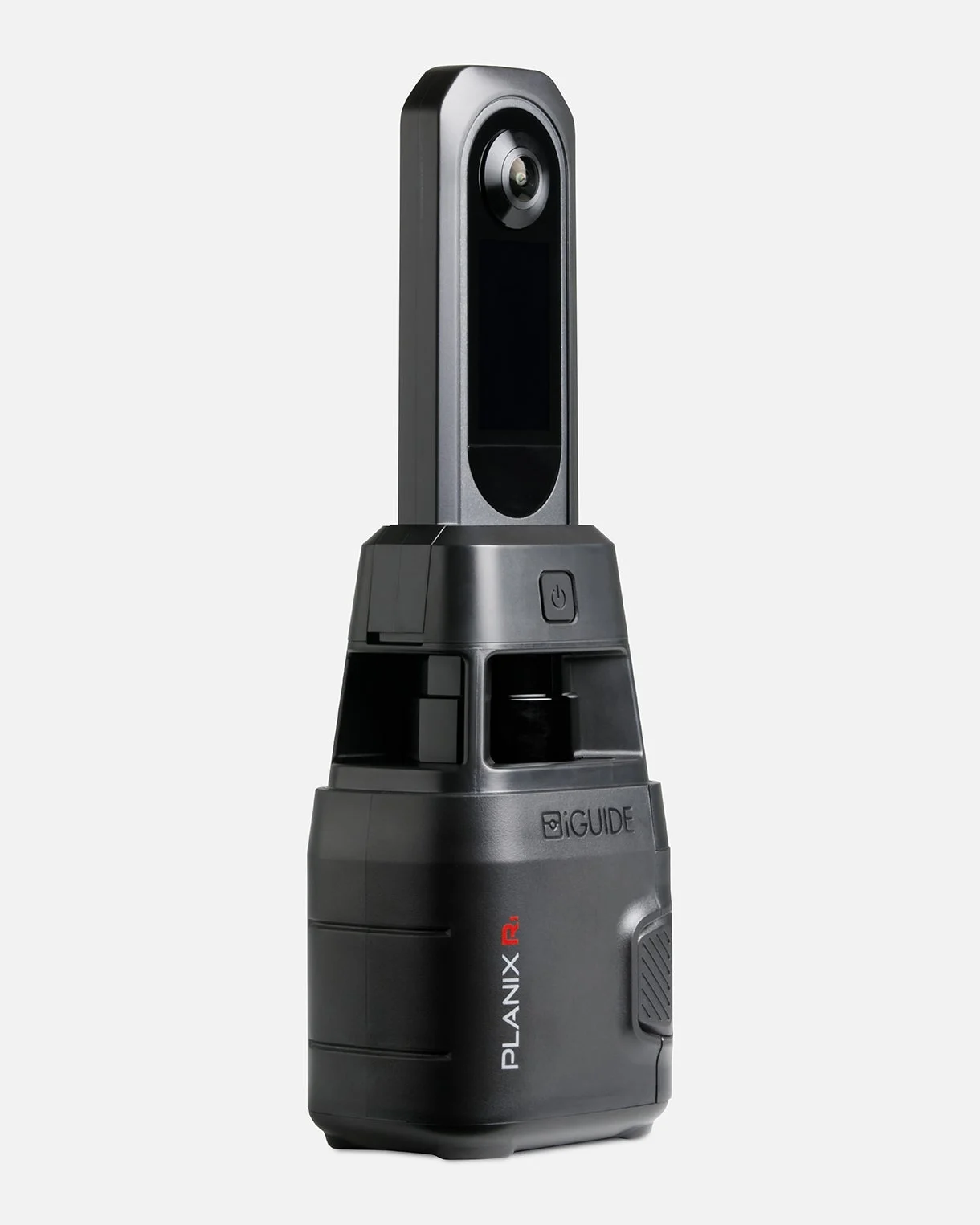
Placed by the laser
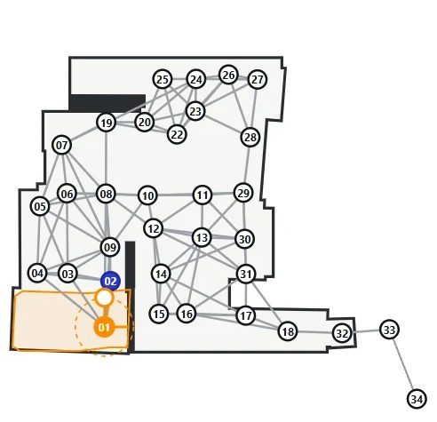
Each panorama goes where the PLANIX measured it: the positions are those of your survey.
Walls from your survey
The 2D floor plan follows the laser profiles of each room.
Your scan, as usual
Every scan position becomes a viewpoint linked to its neighbours, with the PLANIX removed from the nadir.
How it works
- iGUIDE
- Main Floor_0001#0 / scan.jpg11008 × 5504
- Main Floor_0002#0 / scan.jpg11008 × 5504
- Main Floor_0003#0 / scan.jpg11008 × 5504
- surveylog.txtlaser
Open the project in Stitch
iGUIDE Stitch writes a scan.jpg panorama in each scan folder of the project.
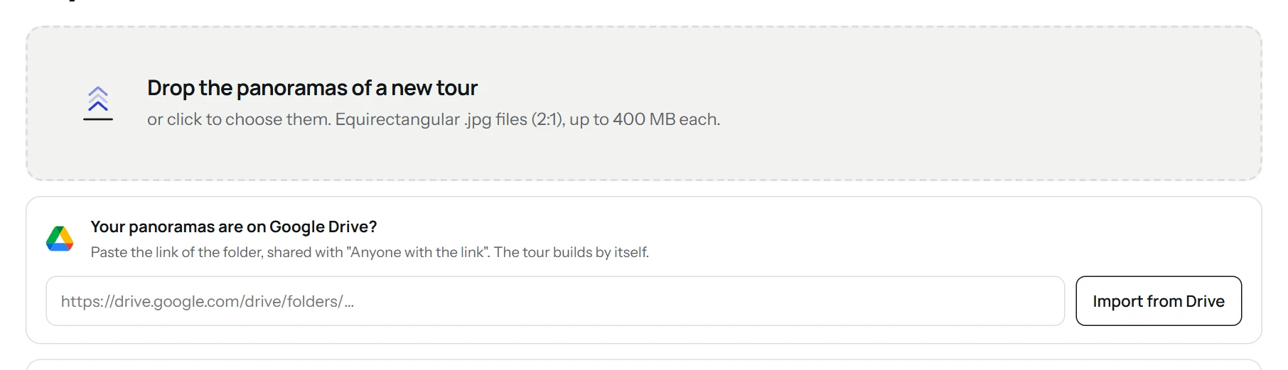
Drop them in the app
Drop the whole project folder: the panoramas and the survey log are sent, nothing else.
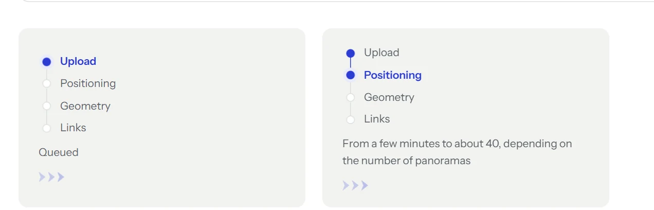
The tour builds itself
Positions, geometry and links are computed on our servers. Close the page: an email tells you when it is ready.
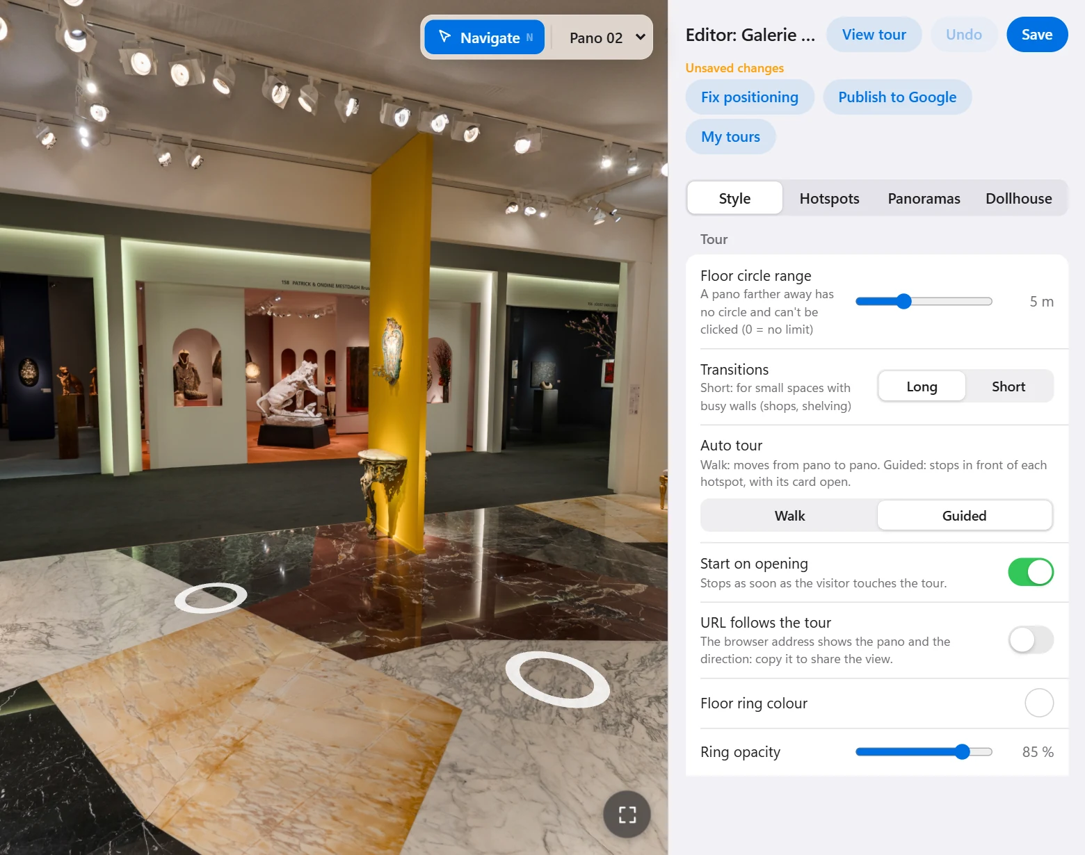
Adjust and publish
Browse the tour, adjust it in the editor, then download it, embed it in a website or publish it to Google Maps.
What to upload
- Folder
- The whole project folder, after opening it in iGUIDE Stitch (free from iGUIDE): Stitch writes a scan.jpg panorama in each scan folder.
- Sent
- The scan.jpg panoramas and the survey log (surveylog.txt). The other project files stay on your computer.
- Not opened yet
- A raw folder from the camera has no panoramas yet: open it in Stitch first, then drop it.
What you get
- The tour hosted free forever, or as a .zip for your own hosting.
- A code to copy to embed it in a website (WordPress, Wix…).
- The viewpoints published on Google Maps from your account.
- White label: your client’s logo, menu and colors.
Good to know
The PLANIX laser measures one horizontal slice of each room: it gives positions and walls, not a measured 3D model.
Our floor plan is not a certified measurement: for ANSI or RMS areas, keep the iGUIDE floor plans.
iGUIDE and PLANIX are trademarks of Planitar Inc. Virtuaaa is not affiliated with or endorsed by iGUIDE.
Other cameras
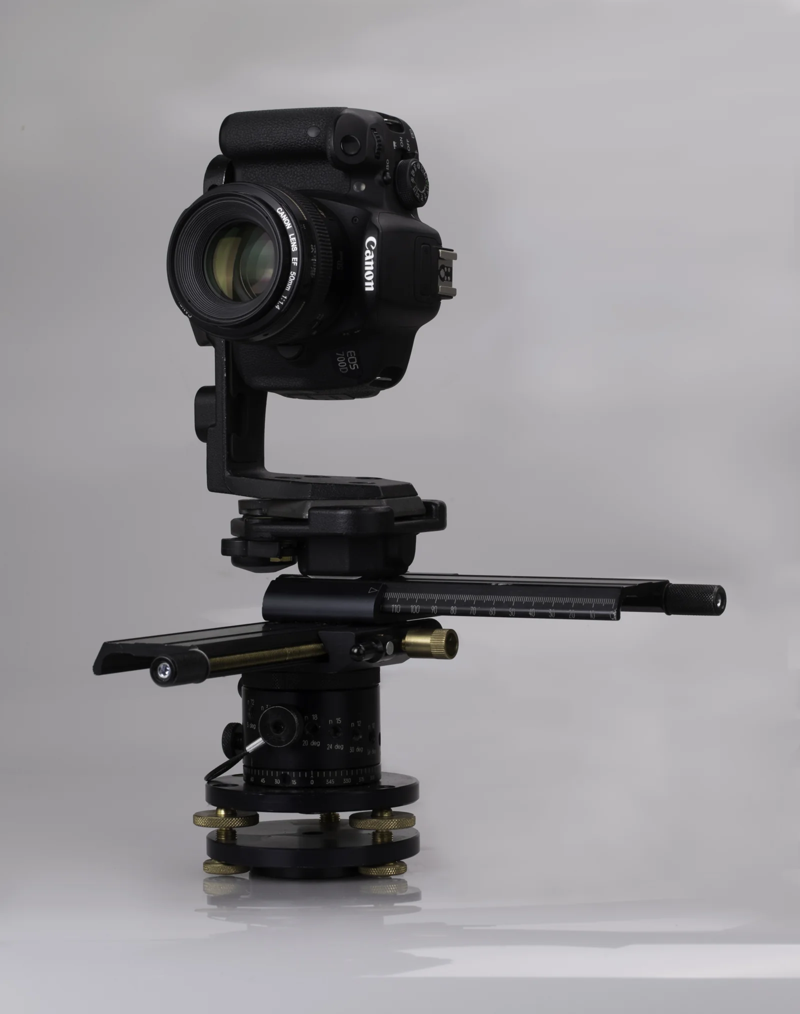 DSLRPTGui panoramas at full resolution, up to 16K.
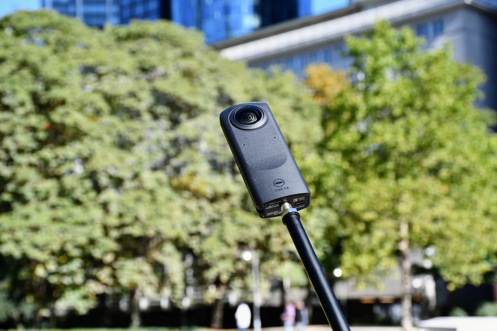 Ricoh ThetaThe JPGs straight from the camera, already stitched.
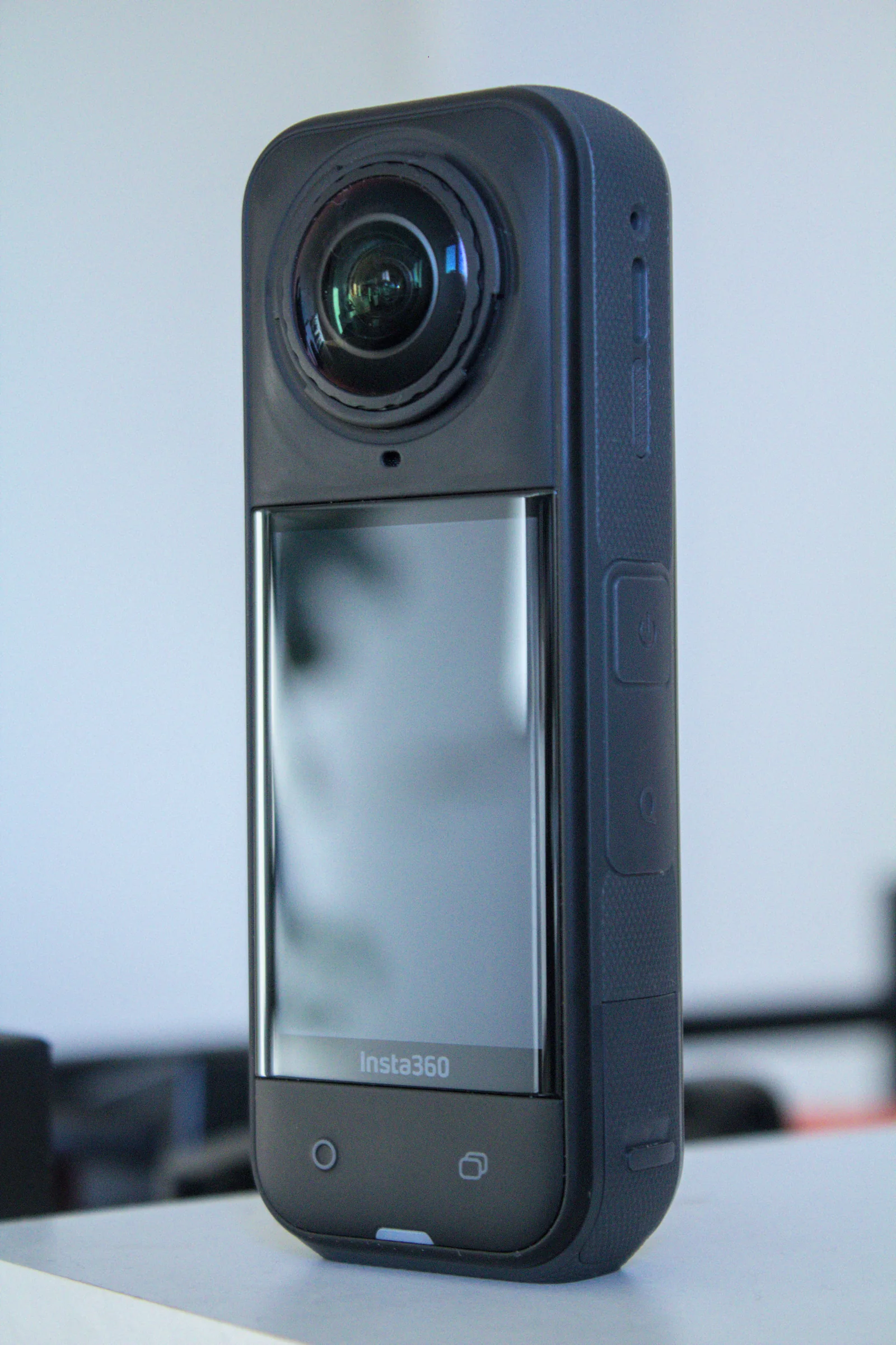 Insta360360 JPGs from the app or Studio, with floor plan and dollhouse.
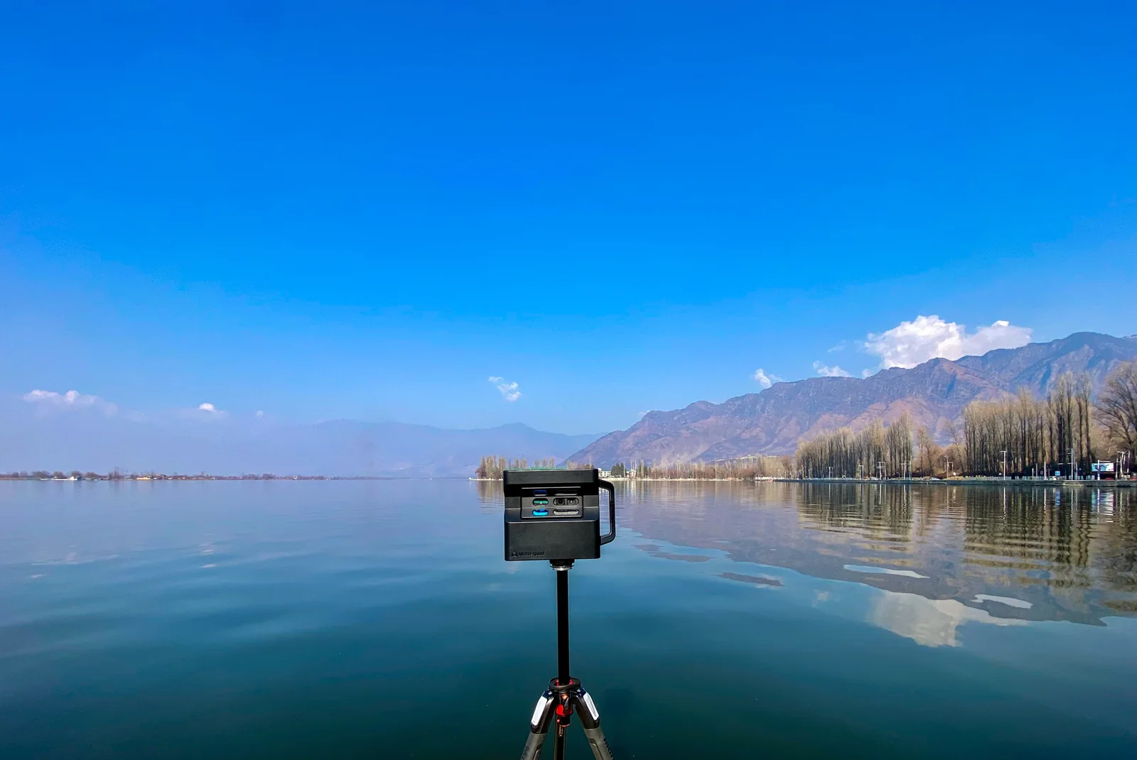 MatterportThe 360° views of your space, downloaded or imported from Street View.
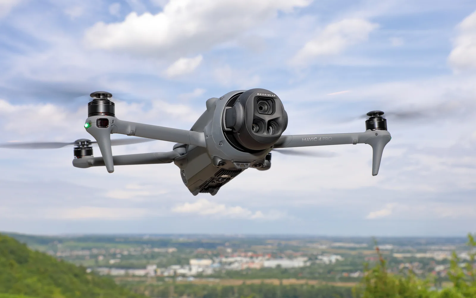 DroneThe raw sphere photos, stitched and corrected for you.
A question about your files? Write to us: [email protected]
Try it free