From your photos to the 3D tour, all built online
Each tool starts from what you already have: DSLR, 360 camera, drone or 3D camera.
Your photos stitched into panoramas
Upload all the photos of each viewpoint, taken on a tripod. Virtuaaa sorts them, stitches them and erases the tripod.
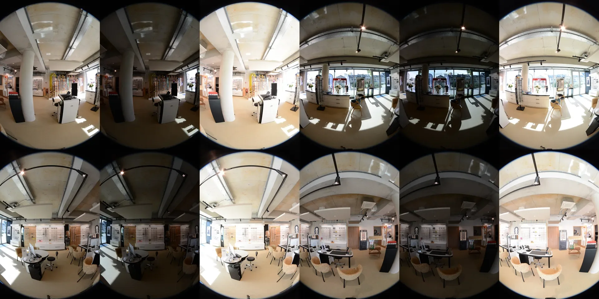
- RAW, JPEG or TIFFBracketed or single exposures, loose files, by folder or in a ZIP.
- Automatic sortingPhotos are sorted by viewpoint according to their capture time and content.
- Leveled panoramasExposures merged, views stitched, pano leveled.
- To downloadOne by one or as a zip, and the 3D tour is built in your account.
Your panoramas become a 3D virtual tour
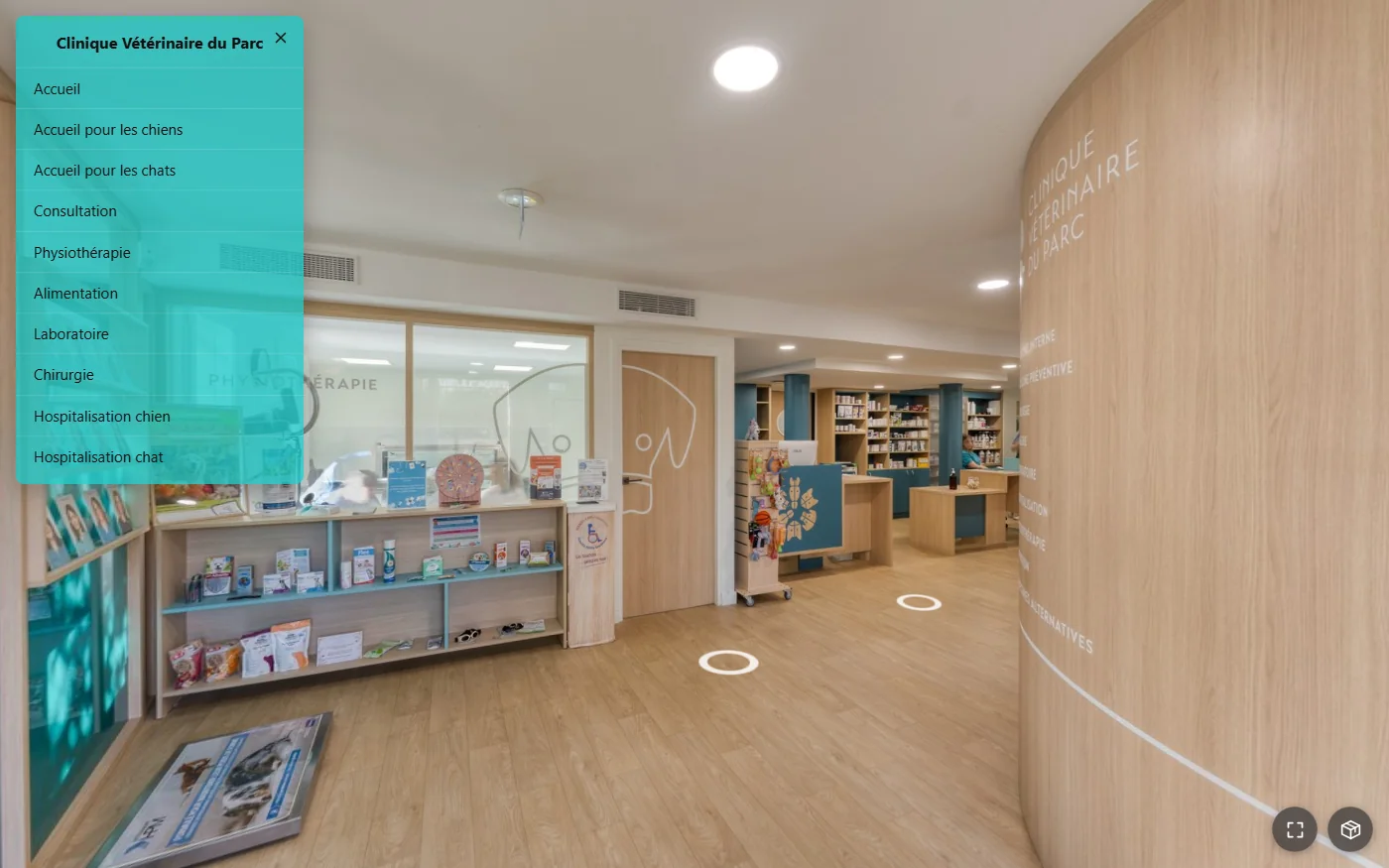
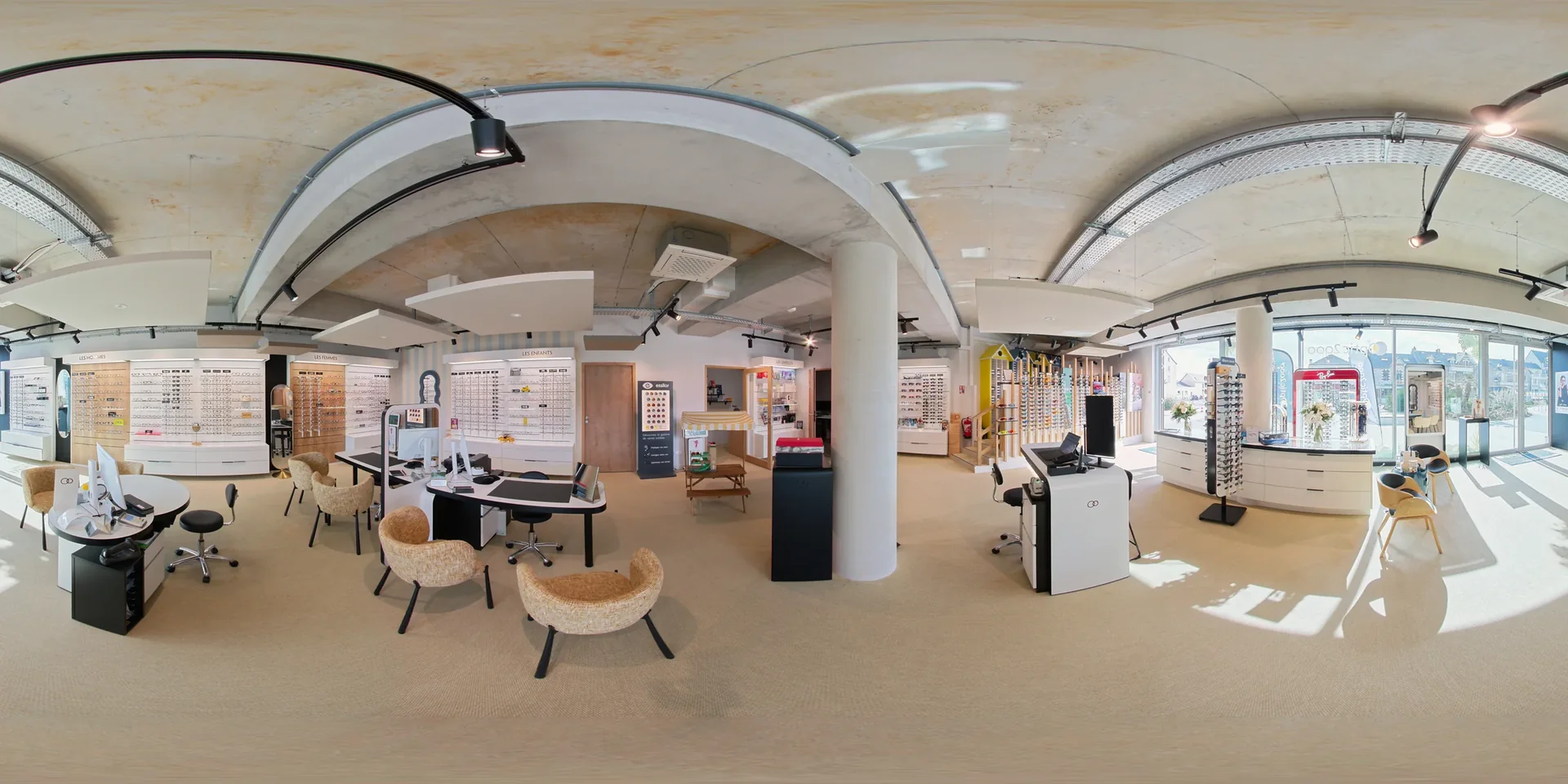
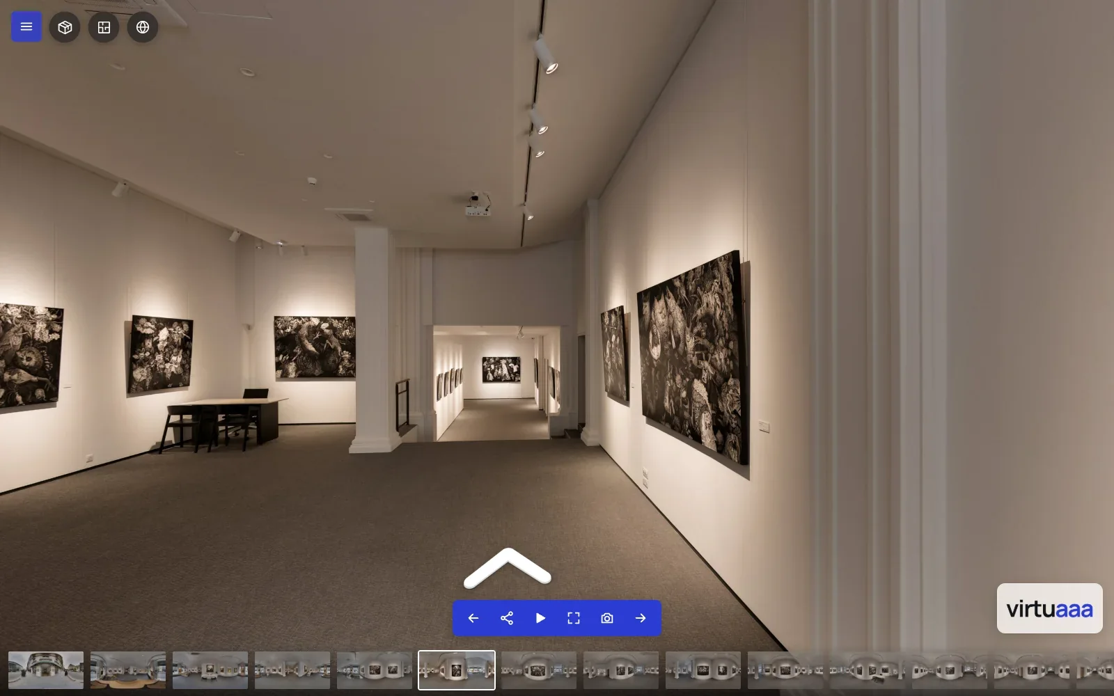
Upload your 2:1 panoramas, from a DSLR or a 360 camera: they place and link themselves.
- 3D movementFrom one viewpoint to the next, following the room.
- Up to 16KLoaded in tiles, area by area.
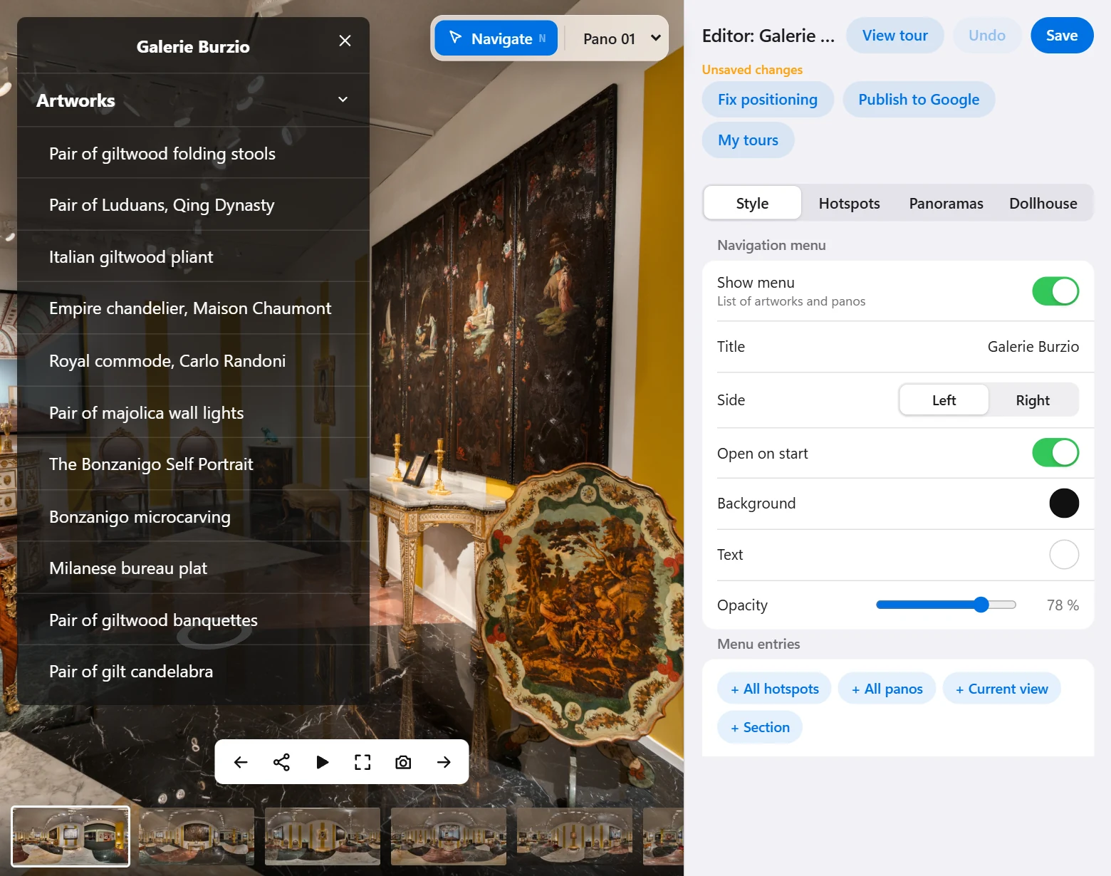
- Link the panosPlace, link and rotate a pano with the mouse.
- In your client's colorsLogo, menu, hotspots and 12 languages.
A dollhouse calculated from your panoramas
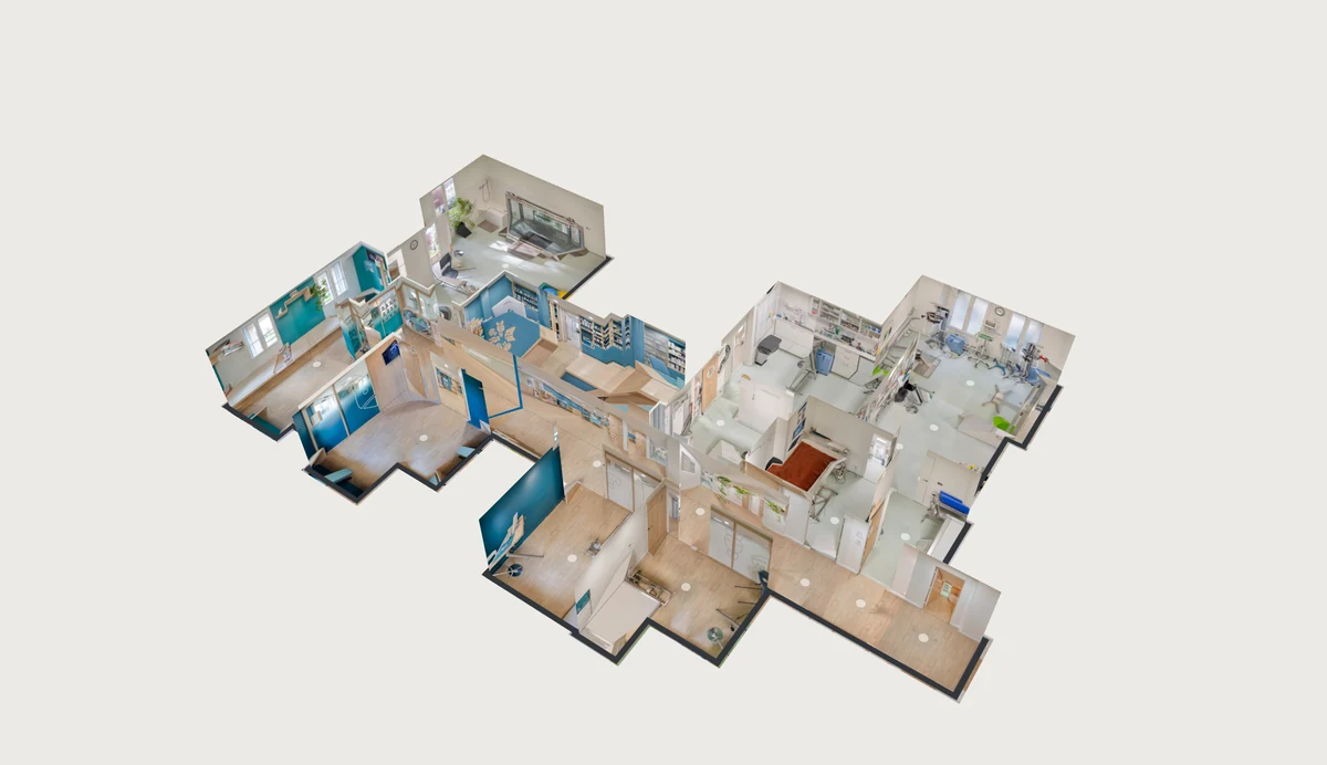
A checkbox in the editor starts the calculation. The dollhouse opens in the tour, and a click on a number leads to the pano.
- In the tourIcon, mini dollhouse that follows the navigation, or intro on opening.
- Stacked floorsEach level in its place in the model.
- EditsCut out the exterior, erase an object.
- 3D model in GLBFor Blender or a 3D viewer.
A 2D floor plan to scale, with its areas
The plan is drawn from the panoramas of a single level. The name and area of each room are displayed on it, and each number leads to the pano.
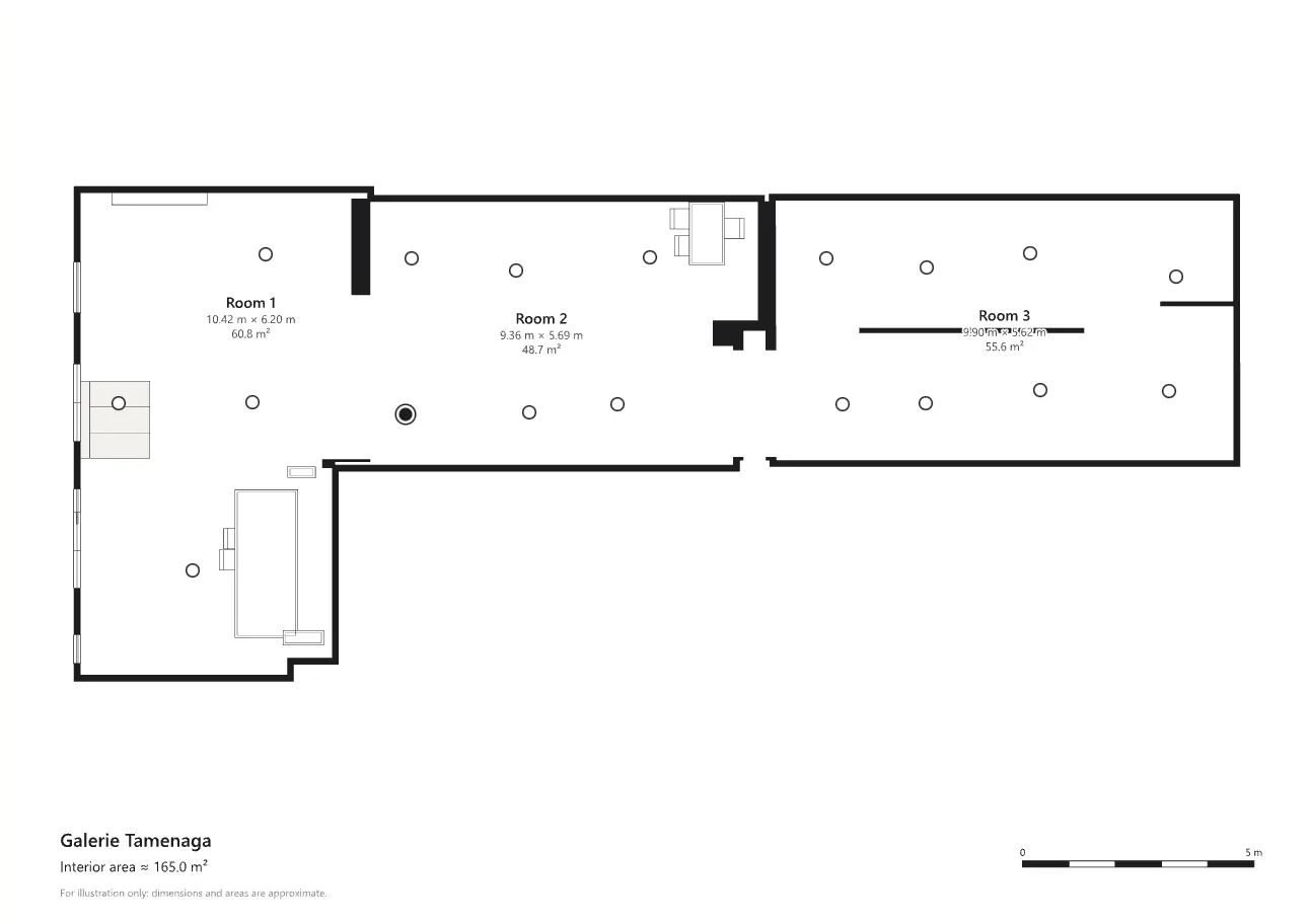 Furnished 2D floor plan
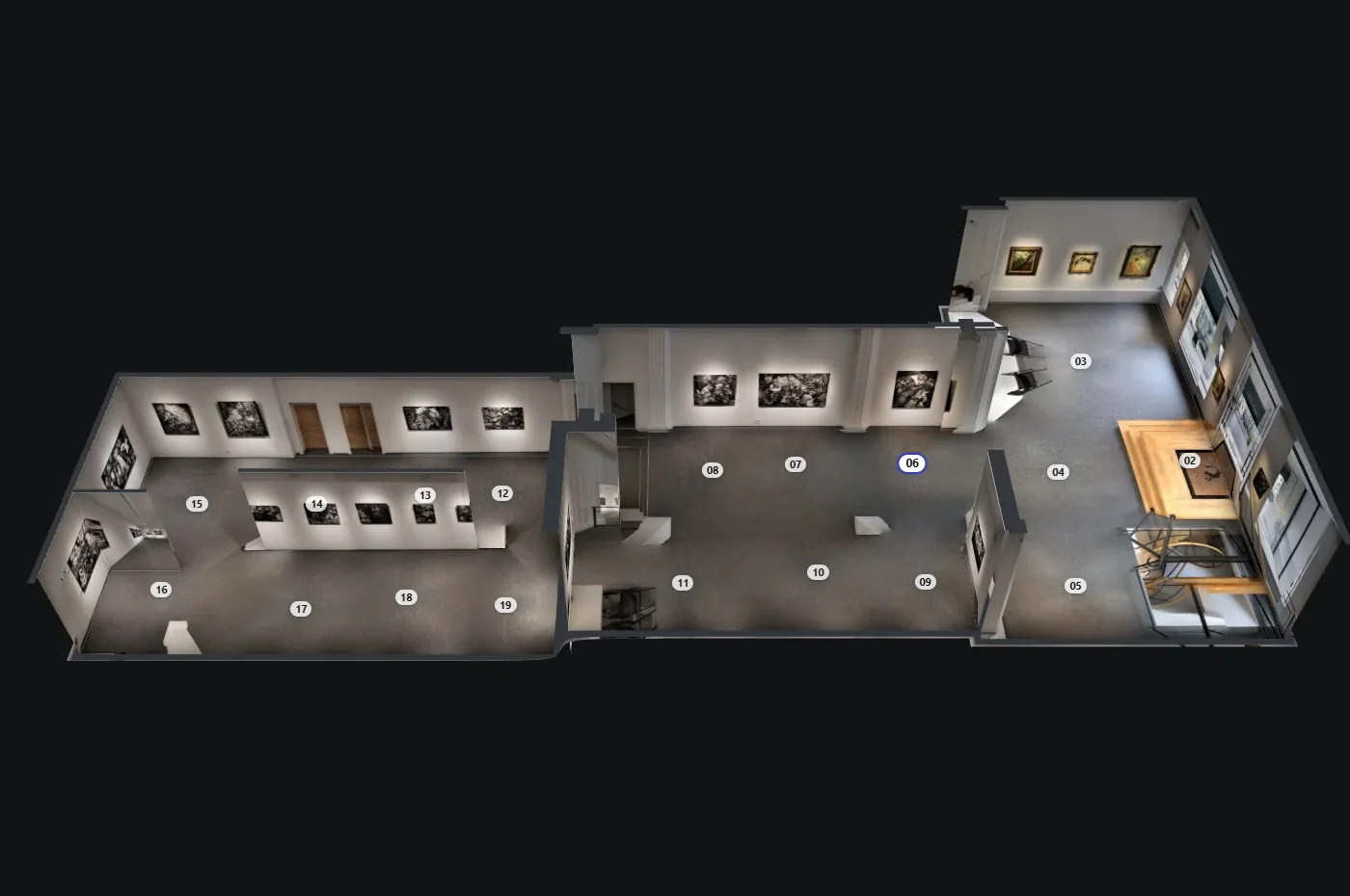 Drawn 3D plan
- The scaleYou give the camera height, or Virtuaaa measures it from the electrical outlets.
- The dimensionsA button shows the width and length of the rooms in the photo.
- Windows and doorsDetected in the panoramas and drawn on the plan.
- EditsAngled walls, quarter turns, room names.
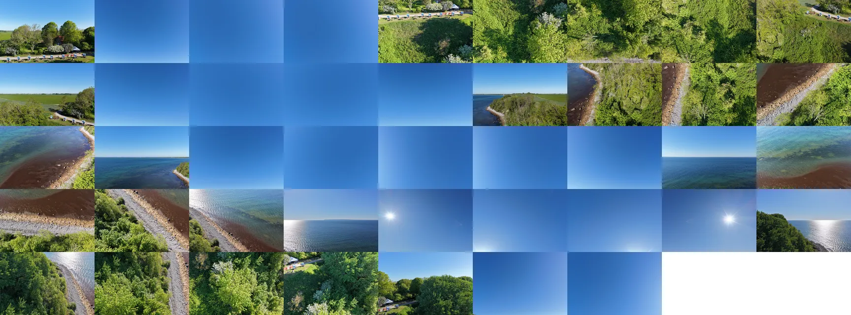
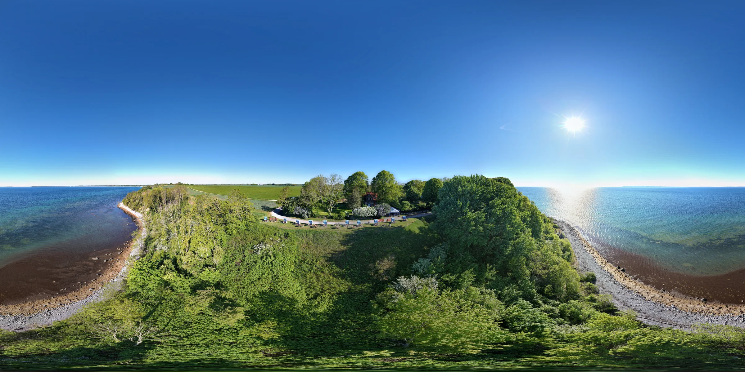
Your drone photos stitched into spheres
Upload the raw photos of each sphere, just as they are on the SD card, from any drone brand.
- Straight horizon, seamless skyEven above the sea.
- North alignedRecalculated from the sun or the coast.
- On the mapEach sphere at its GPS position and its height.
A virtual tour seen from the sky, with your ground panoramas
Fly from one sphere to the next on the 3D map, then customize the tour like any other.
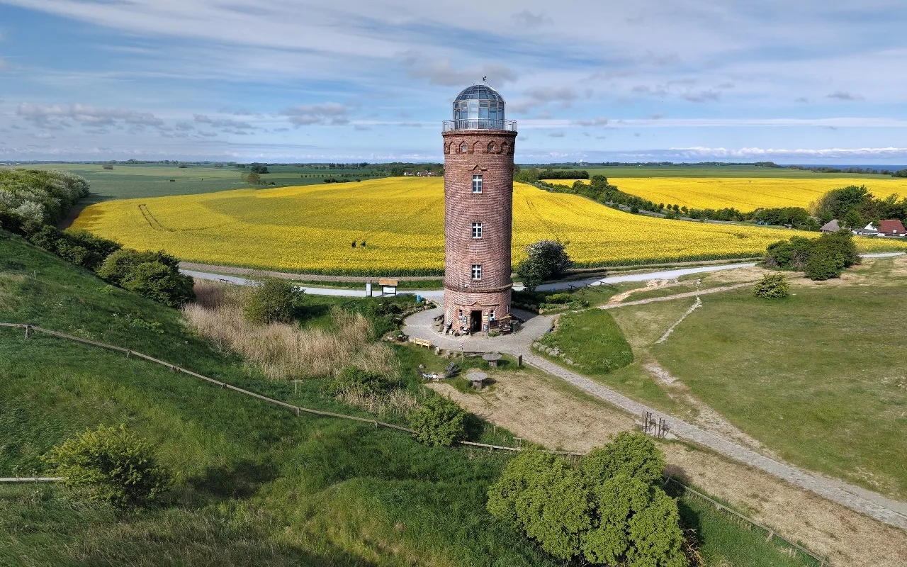
- Several heightsThe same place shot at several heights: the tour goes up and down.
- Ground panoramasAdded to the aerial tour, in the same upload.
- Full editorPlace names, hotspots, logo and menu.
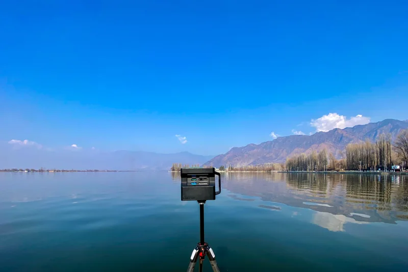
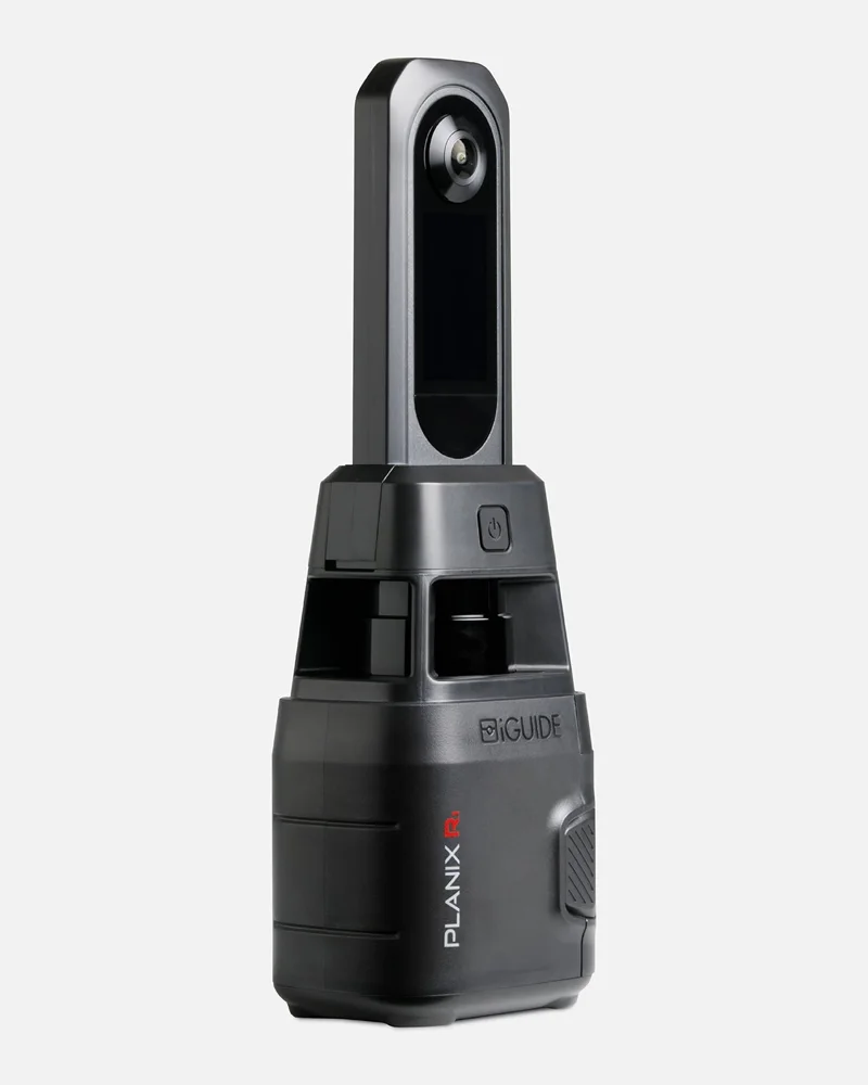
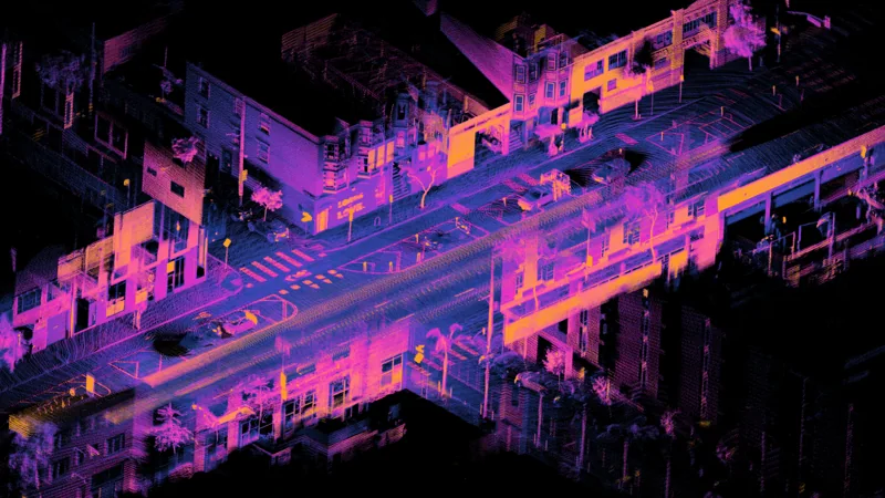
3D camera, LiDAR or iGUIDE: your scans become a tour
You keep your camera and your way of working. The dollhouse and the 3D movement are calculated from your panoramas.