A $400 LiDAR for measured tours
Keep your camera. Set a Unitree L2 LiDAR on its own small stand under the tripod: each viewpoint gets measured positions, walls and ceiling heights.
Try it free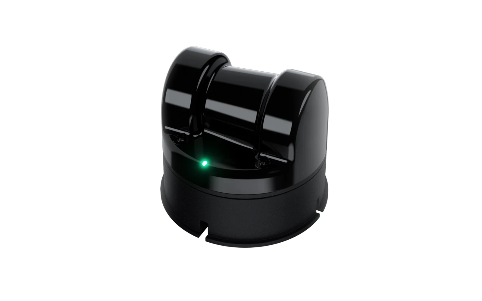
What you need
- LiDAR
- Unitree L2: all around and above, up to 30 m, about 2 cm accuracy and 230 g (manufacturer figures); $419 from Unitree.
- Camera
- Your DSLR, Insta360 or Ricoh Theta, as today.
- Mount
- A small stand on the floor between the tripod legs, not touching the camera tripod: the LiDAR spins and vibrates.
- Computer
- The L2 records nothing by itself: it sends its scan over its network cable to a computer.
How it works
 Unitree L2
- L2 LiDAR230 g
- One-out-three cablePower, network
- Adapter moduleUSB-C
- Power adapterIncluded
Order the L2
$419 on the Unitree shop. Before your first LiDAR shoot, write to us at [email protected]: we set up the recording and the import with you.
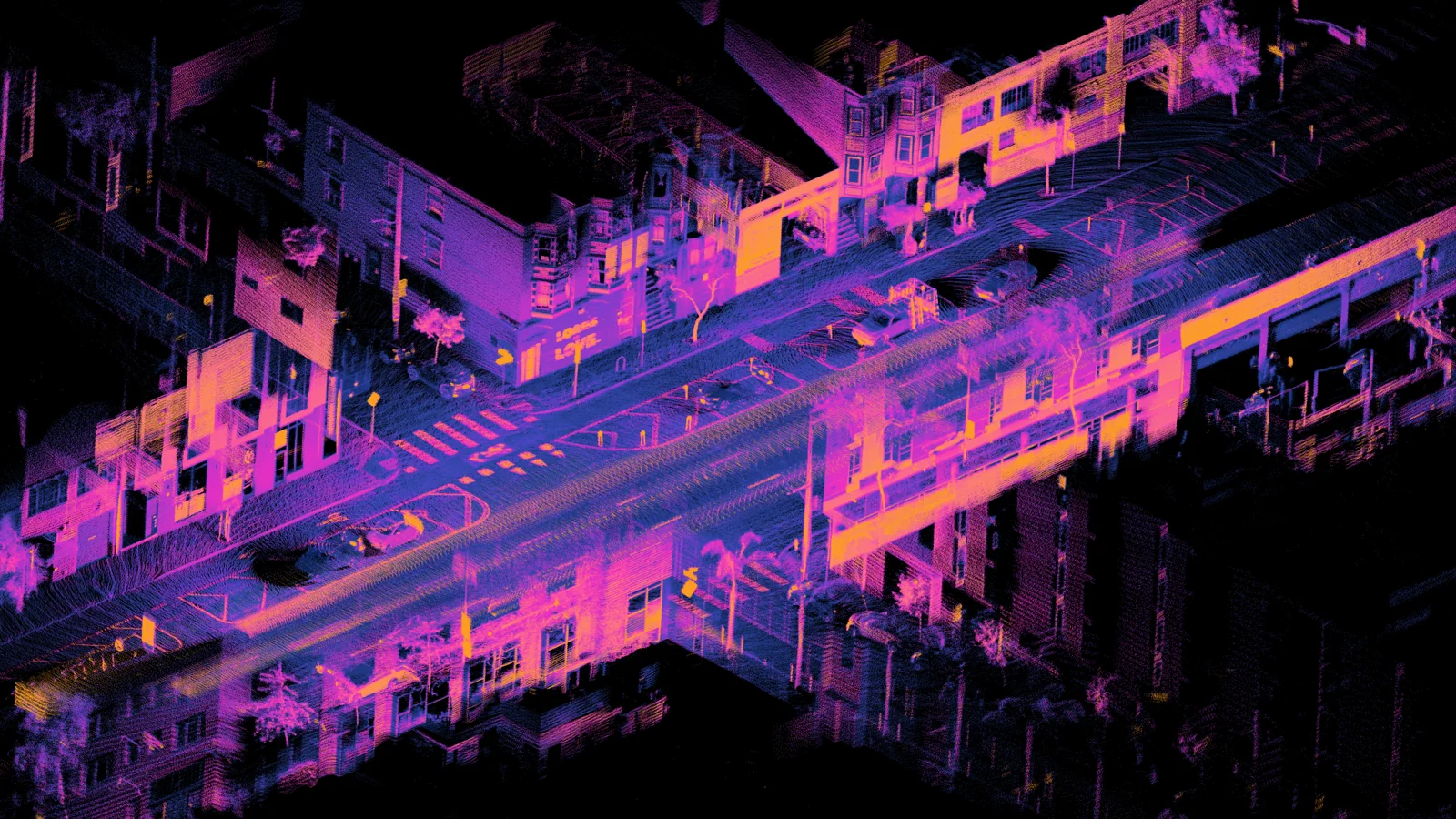
Shoot with the LiDAR on
Leave it running for the whole shoot and keep still 5 to 10 seconds at each viewpoint.
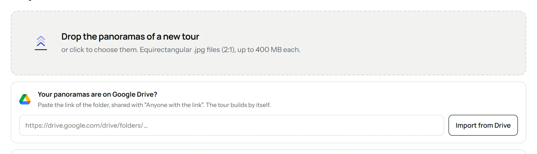
Send the views and the scan
Drop the 360 views in the app as usual, then send the LiDAR file as a download link to [email protected].
The tour takes the measurements
The tour builds itself on our servers; our team adds the scan, and the floor plan and 3D model take its measurements.
On a LiDAR shoot
Under the camera
Centre it under the camera, about 40 cm high: it stays in the nadir, which is retouched anyway.
Dark walls, glass, mirrors
The laser can miss them: shoot these areas from a second viewpoint too.
What you get
- Positions of the viewpoints measured to a few centimetres.
- Walls of the floor plan and ceiling heights from the laser.
- Measured dimensions in the floor plan and the 3D model.
- The LiDAR is yours, bought once.
Good to know
Unitree is a trademark of Unitree Robotics. Virtuaaa is not affiliated with Unitree.
Other cameras
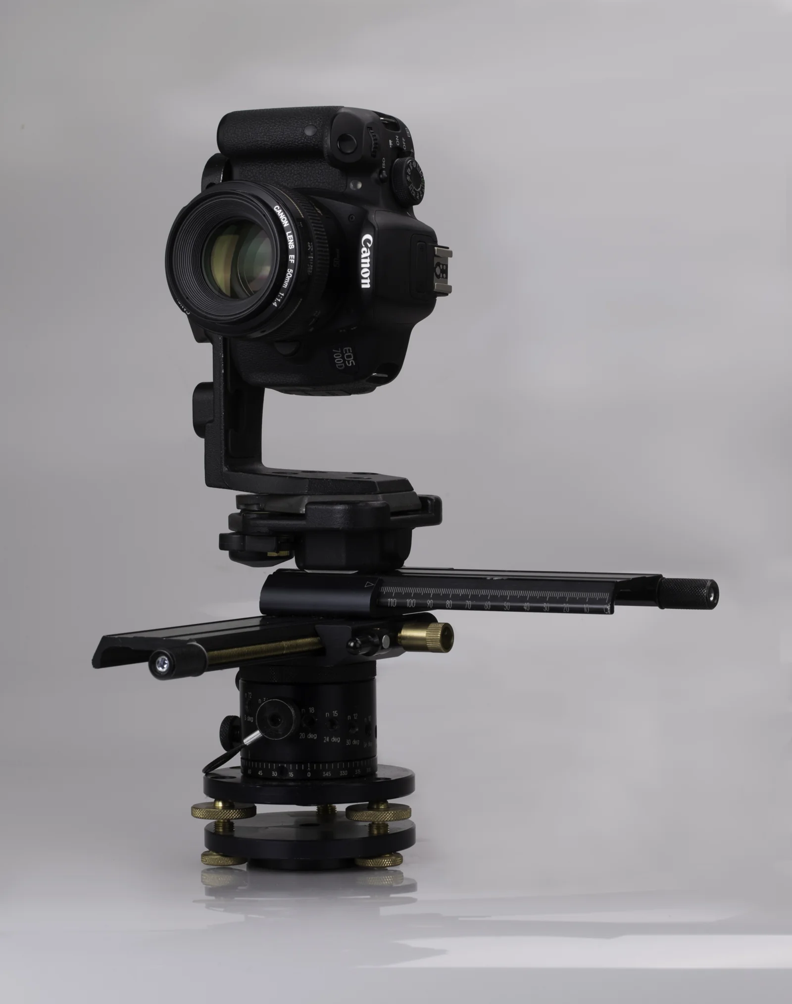 DSLRPTGui panoramas at full resolution, up to 16K.
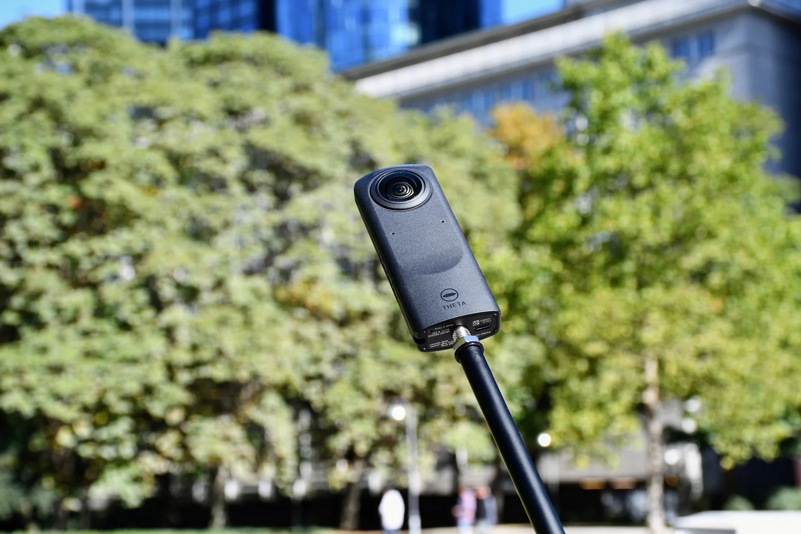 Ricoh ThetaThe JPGs straight from the camera, already stitched.
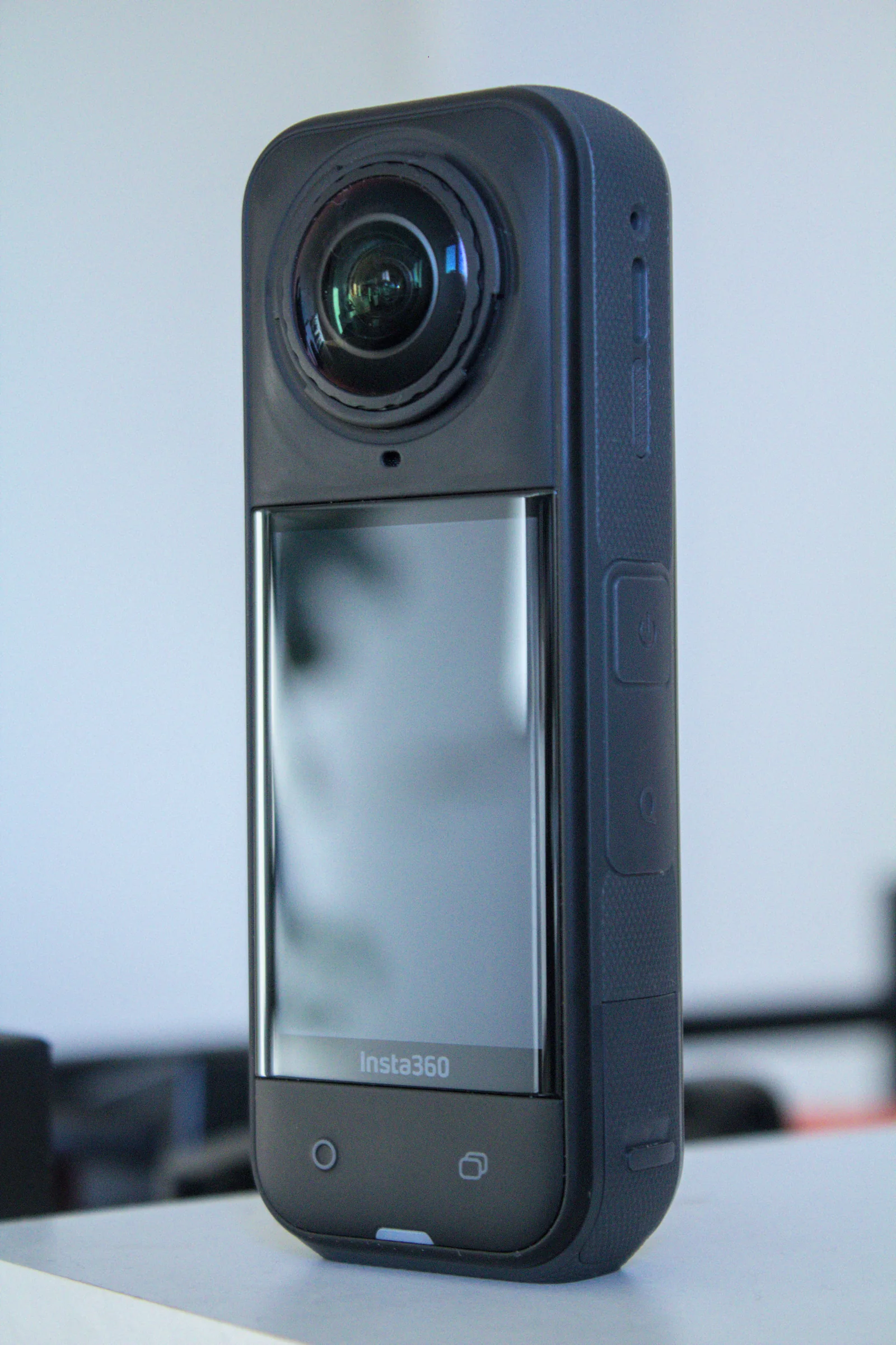 Insta360360 JPGs from the app or Studio, with floor plan and dollhouse.
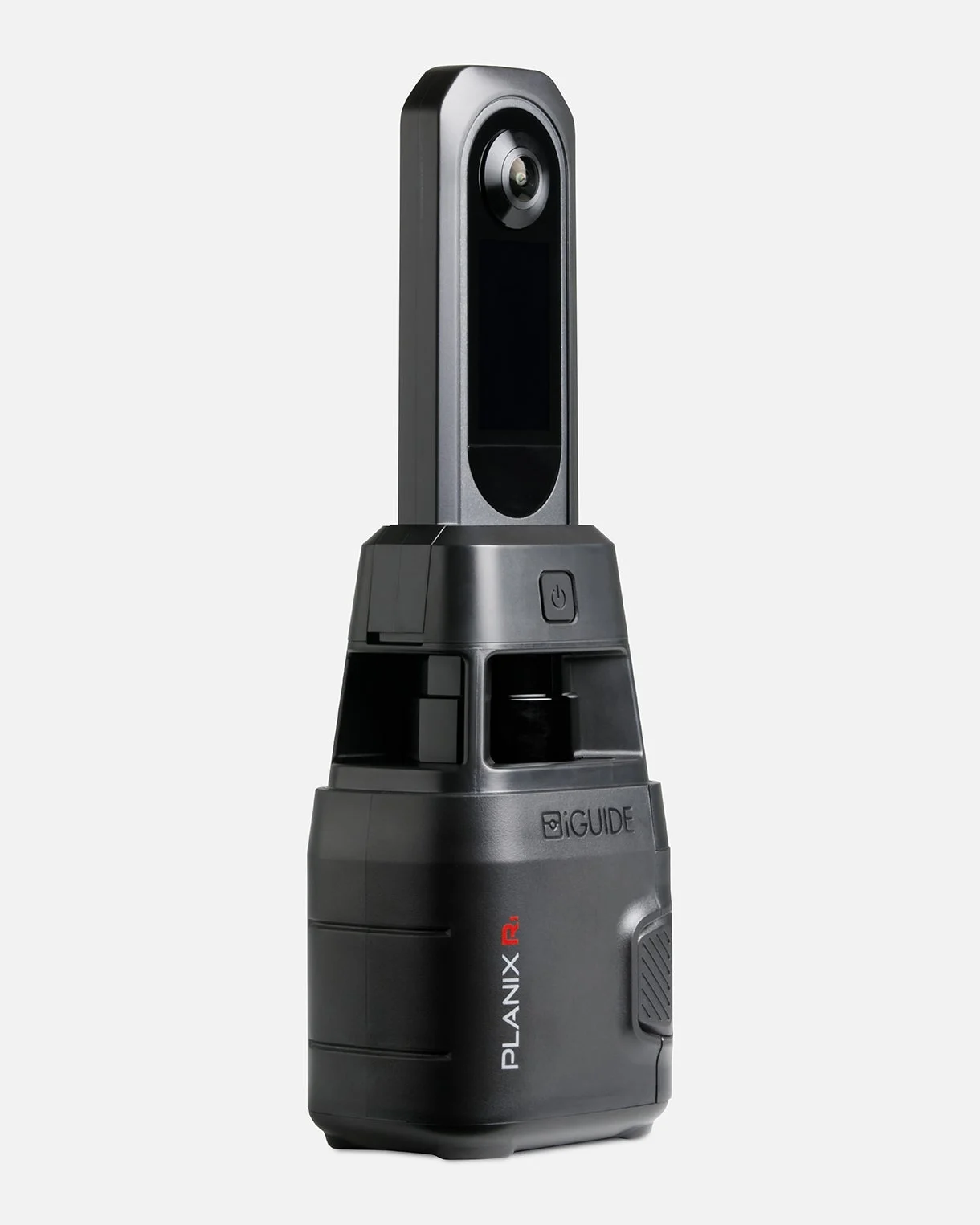 iGUIDEThe project folder opened in iGUIDE Stitch, placed by its laser.
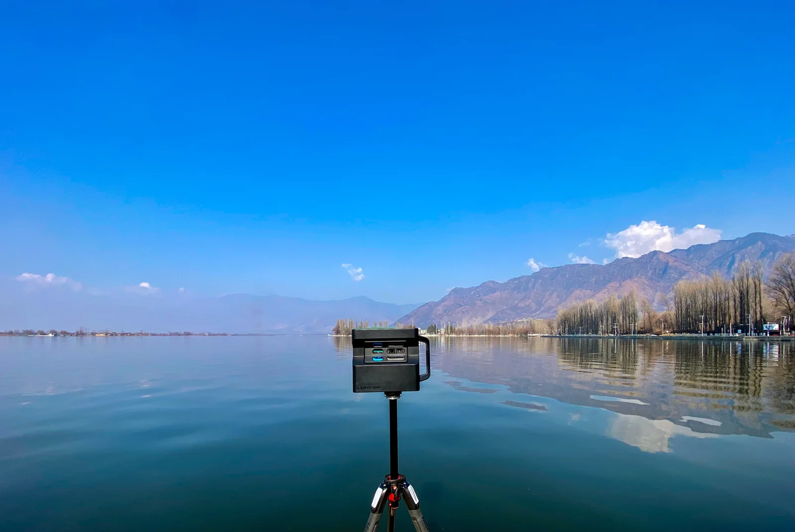 MatterportThe 360° views of your space, downloaded or imported from Street View.
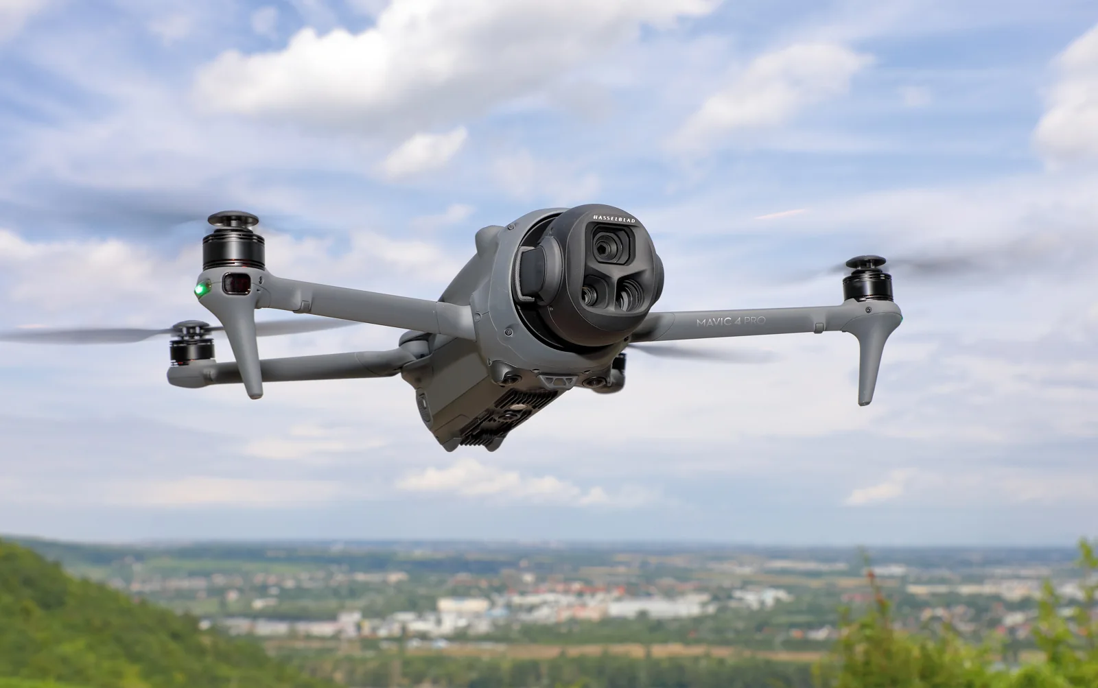 DroneThe raw sphere photos, stitched and corrected for you.
A question about your files? Write to us: [email protected]
Try it free