Works with the camera you have
Panoramas from a DSLR, a 360 camera, a 3D camera or a drone all become a 3D tour. Choose yours to see what to upload.
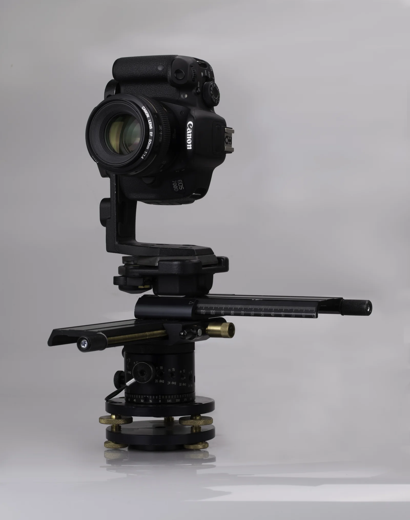 DSLRPTGui panoramas at full resolution, up to 16K.
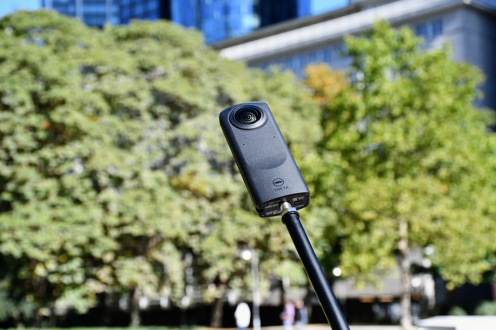 Ricoh ThetaThe JPGs straight from the camera, already stitched.
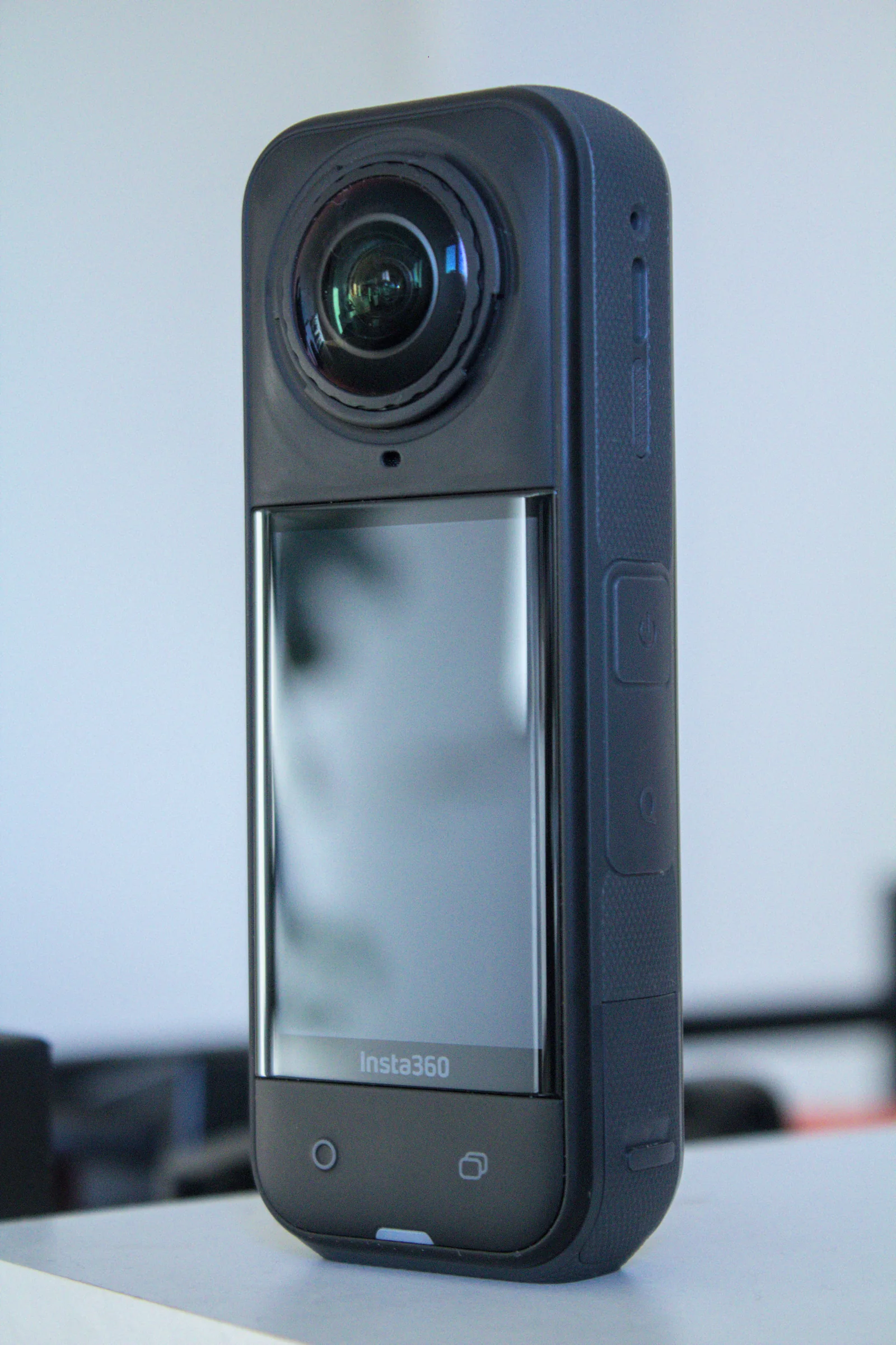 Insta360360 JPGs from the app or Studio, with floor plan and dollhouse.
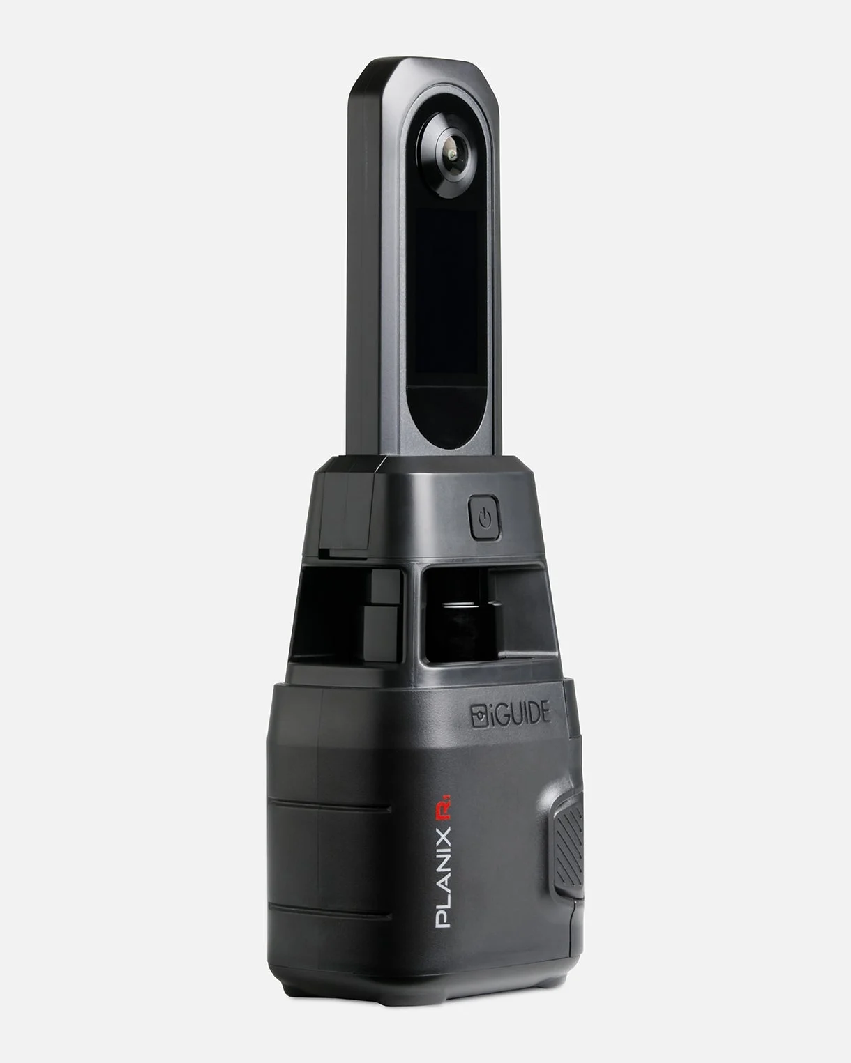 iGUIDEThe project folder opened in iGUIDE Stitch, placed by its laser.
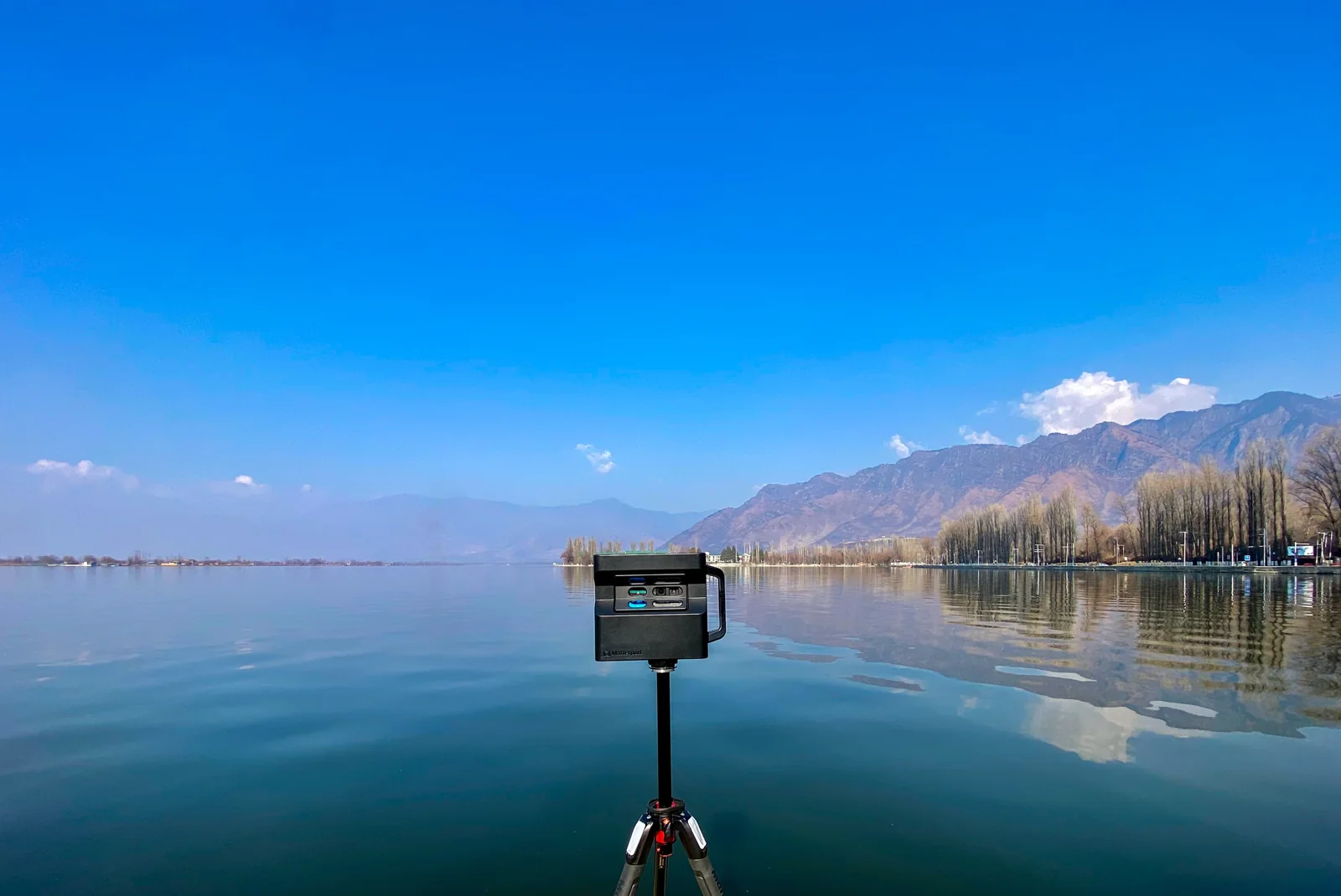 MatterportThe 360° views of your space, downloaded or imported from Street View.
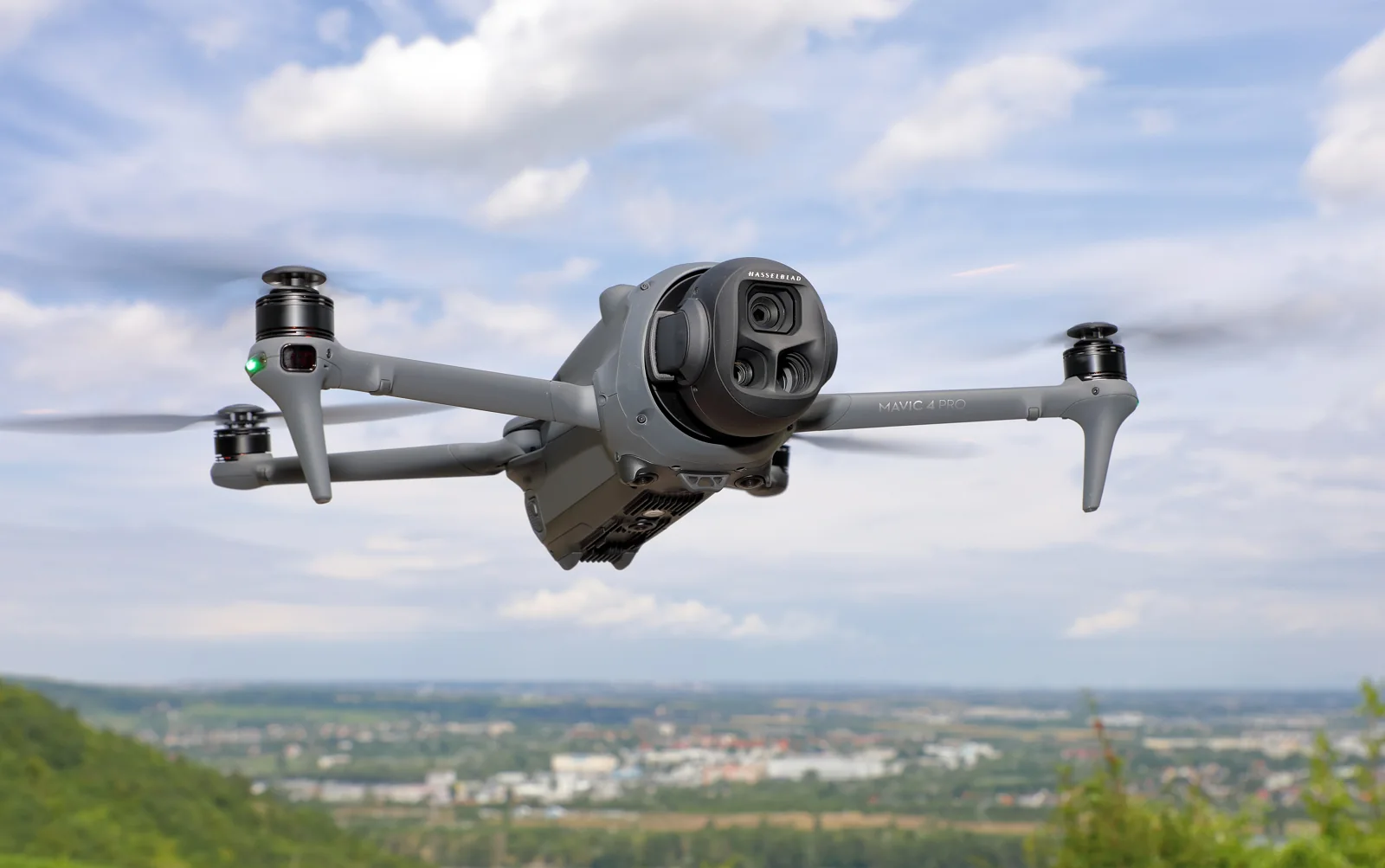 DroneThe raw sphere photos, stitched and corrected for you.
Add a LiDAR for measured tours
Keep your camera. Set a Unitree L2 LiDAR on its own small stand under the tripod: each viewpoint gets measured positions, walls and ceiling heights.
LiDAR (option)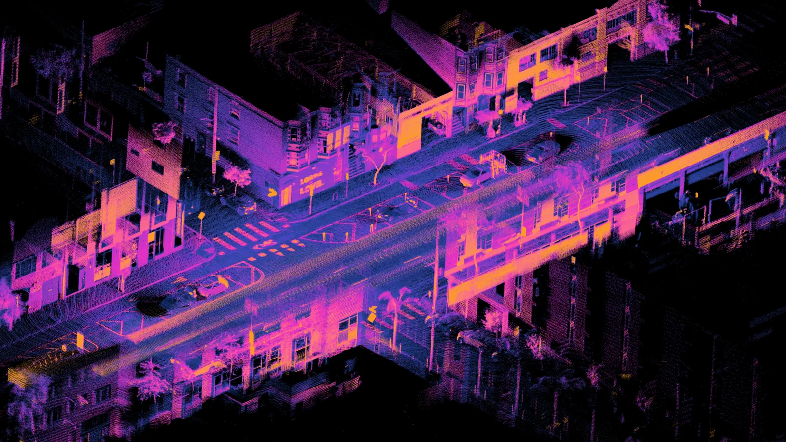
A question about your files? Write to us: [email protected]
Try it free