How do you get an accurate floor plan from 360 photos?
Upload your panoramas: the floor plan is computed with the tour, with the name, area and dimensions of each room. New technology measures the place from the photos alone, with no 3D scanner or 3D camera.
Get my floor plan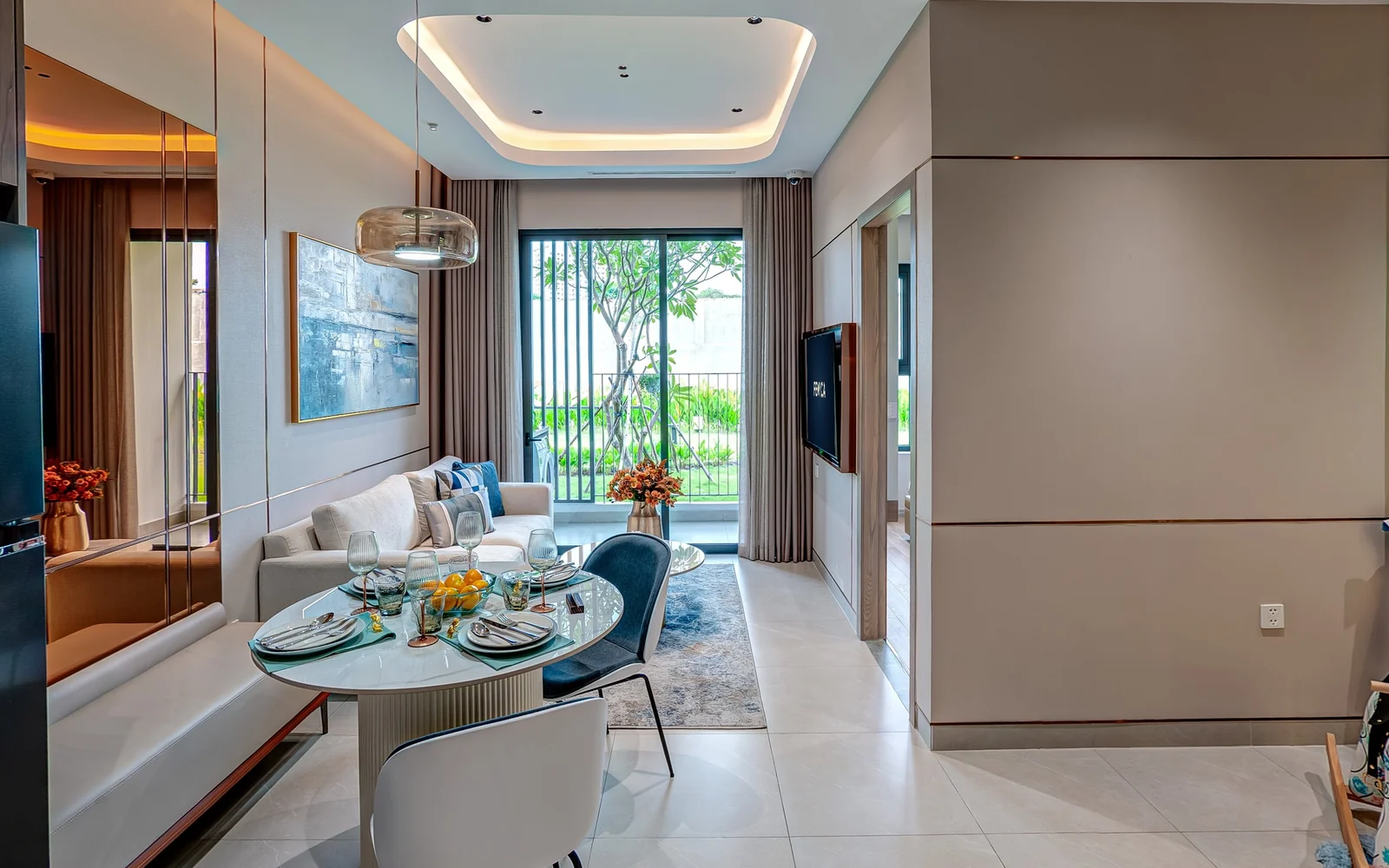
Why get the plan from Virtuaaa
- Names and areas on the plan. Rooms are named automatically for a home; you can rename them.
- Dimensions in the photos. Width and length of each room, with the “Dimensions” button.
- PDF, PNG or SVG, black and white or colour, in m² or ft².
- Included in the tour: $10 per tour, paid once. The first one is free.
An accurate plan from photos alone
New technology reads the dimensions of the place in the panoramas themselves.
from a laser survey, on the room dimensions of a reference apartment, with the camera height entered at upload.
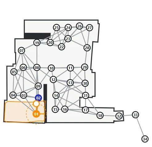
What does the plan give you?
- The name of each room, editable.
- Its area, shown or hidden.
- Its width and length, in the panoramas.
- Ready with the tour, in 15 to 40 minutes.
You already have a 3D camera?
A 3D camera measures with a laser: manufacturers announce 1 to 2 cm.
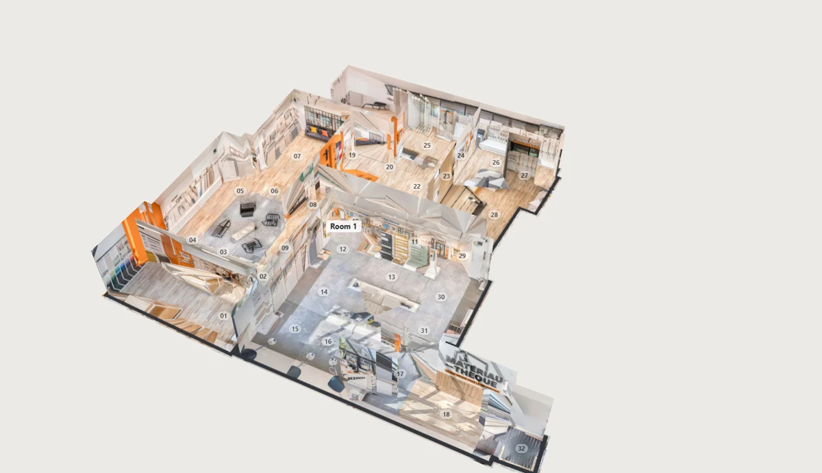
Your project file is read and used
Upload the project folder of your 3D camera: Virtuaaa reads its laser positions and uses them to build the tour. See uploading a project folder.
Another format? Write to [email protected].
No 3D camera? Add a LiDAR
The laser measurement, with the camera you already have.
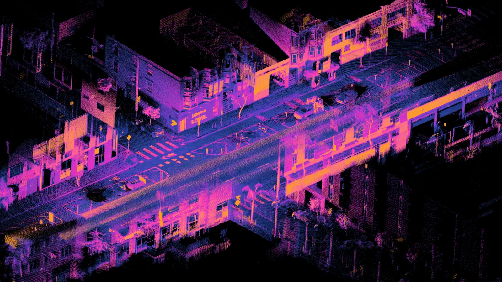
A LiDAR under the tripod
A $419 LiDAR measures walls and positions by laser, with any camera. The import is set up on request.
Questions about the floor plan
How accurate is a plan made from photos?
On a reference apartment also surveyed by laser, room dimensions were within 10 cm of the laser, with the camera height entered at upload.
Does this plan count for an appraisal or a legal surface?
Not on its own: whoever measures answers for the figure. The plan shows the layout, the name and the area of the rooms for a listing.
Can I edit or export the plan?
You rename rooms, show or hide areas, choose m² or ft²; the plan downloads as PDF, PNG or SVG.
Does it work for several floors?
The 2D plan covers a tour on one level. For several floors, the dollhouse shows all the levels stacked.
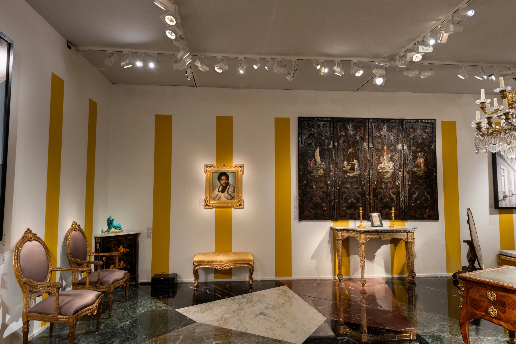
Your floor plan, computed from your panoramas
Room names, areas and dimensions. The first tour is free, with its plan.
A question about your files? [email protected]
More articles
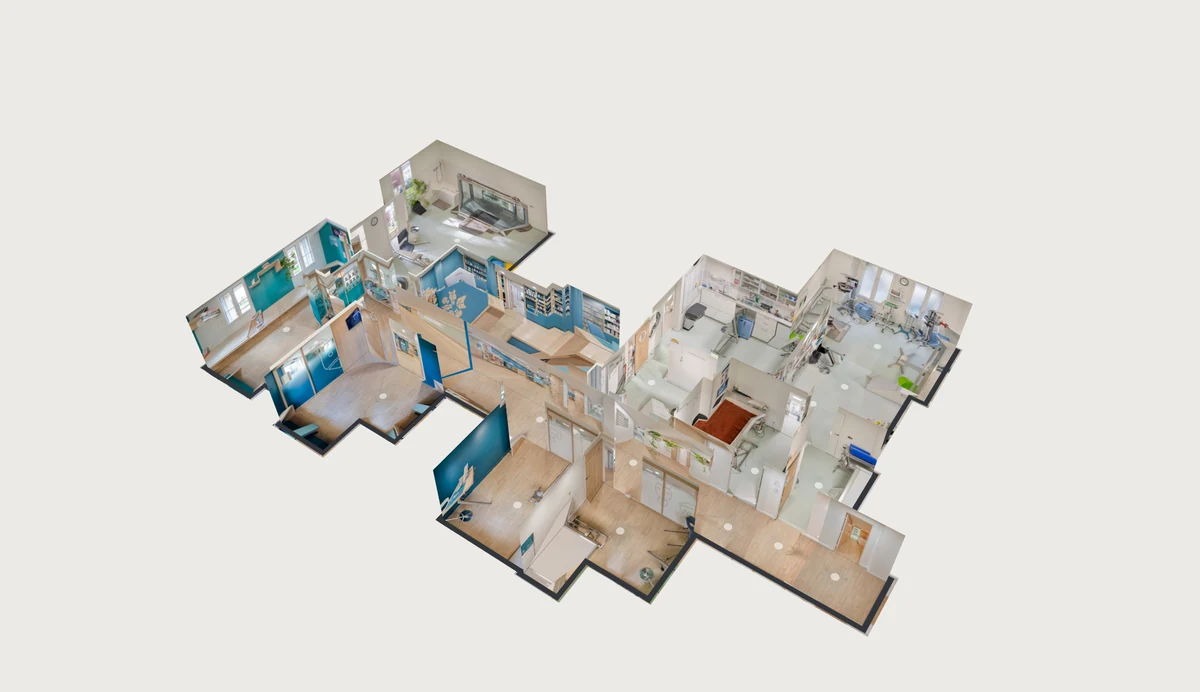 What is the best Matterport alternative?Moving in 3D, the dollhouse and the plan from your own 360 camera: how each part is made, and twelve tools compared with their prices.How do you get a 3D tour with a dollhouse from an iGUIDE project?The project folder opened in iGUIDE Stitch, dropped as it is: laser positions on a single floor, and the dollhouse the iGUIDE viewer does not show.
 What is the best software to create a 3D virtual tour?Twelve tools compared, with their prices and a tour to open for each, and what 10 tours kept for 3 years cost.
 How do you stitch a perfect drone panorama automatically?Broken seams, a hole in the sky, a tilted horizon: the causes, the manual fixes, and the stitching that corrects it all automatically.