How do you stitch a perfect drone panorama automatically?
A drone sphere can come out with a broken seam, a hole in the sky or a tilted horizon. Stitching tools fix part of this, and the rest is retouched by hand. Virtuaaa corrects it all automatically: upload the raw folder from the SD card and get your 360 panorama.
Stitch my sphere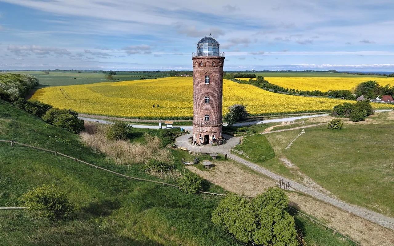
Virtuaaa corrects it all automatically
- Every drone. DJI, Parrot, Skydio, Autel: gimbal angles are read, and the photos alone are enough for other drones.
- Clean seams, aligned on the content of the photos.
- A full sky, the gaps filled in automatically.
- A straight horizon, and north corrected.
Stitch my sphereStitching is part of the free trial.
What does each solution correct?
| Defect | Stitched by the drone | Stitching software | Virtuaaa |
|---|---|---|---|
| Hole in the sky | Filled with a blur | Fill and retouch by hand | Filled automatically |
| Tilted horizon | Can remain | Control points to place | Straightened automatically |
| Broken seams | Can remain | Parallax correction by hand | Aligned automatically |
| North | Depends on the compass | Set by hand | Corrected automatically |
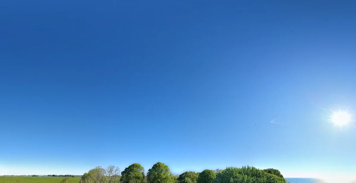
Why is there a hole in the sky?
A drone gimbal rarely points straight up, so the top of the sky is never photographed. A blur or a black rectangle remains at the zenith.
By hand: fill the zenith in stitching or retouching software, or add a few sky photos taken separately. Cropping the hole breaks the 2:1 format.
With Virtuaaa: the sky is completed automatically.
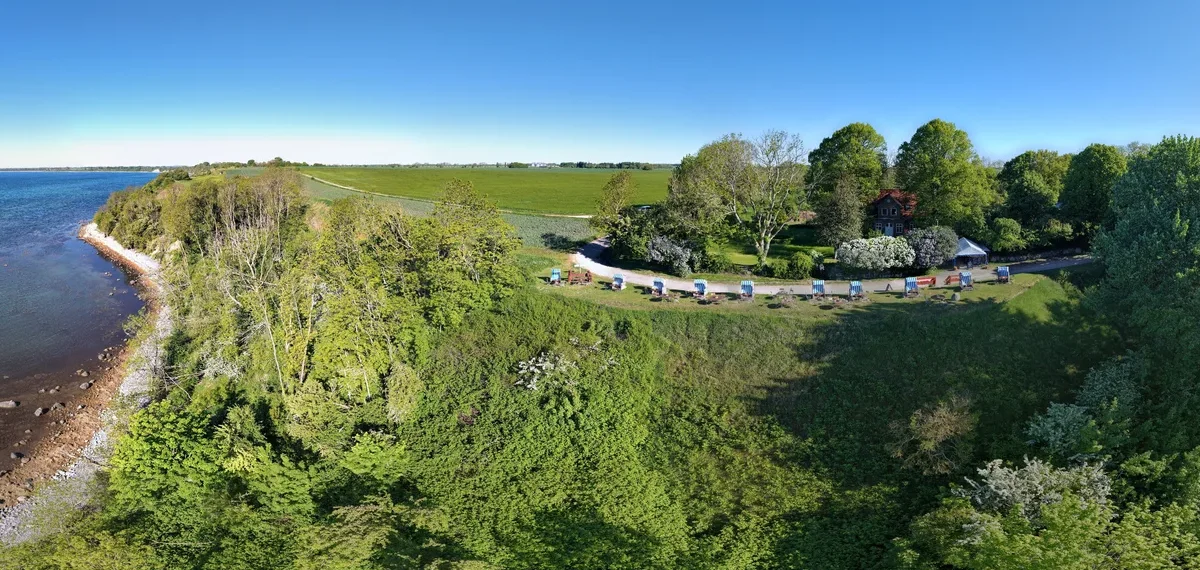
Why does the horizon tilt?
The drone drifts between two photos and the gimbal is not always level: the photos no longer line up, and the horizon tilts or curves.
By hand: recalibrate the gimbal before the flight, then place control points along the horizon and run the calculation again.
With Virtuaaa: the sphere is levelled from the gimbal angles, and from the horizon line above the sea. North is corrected too.
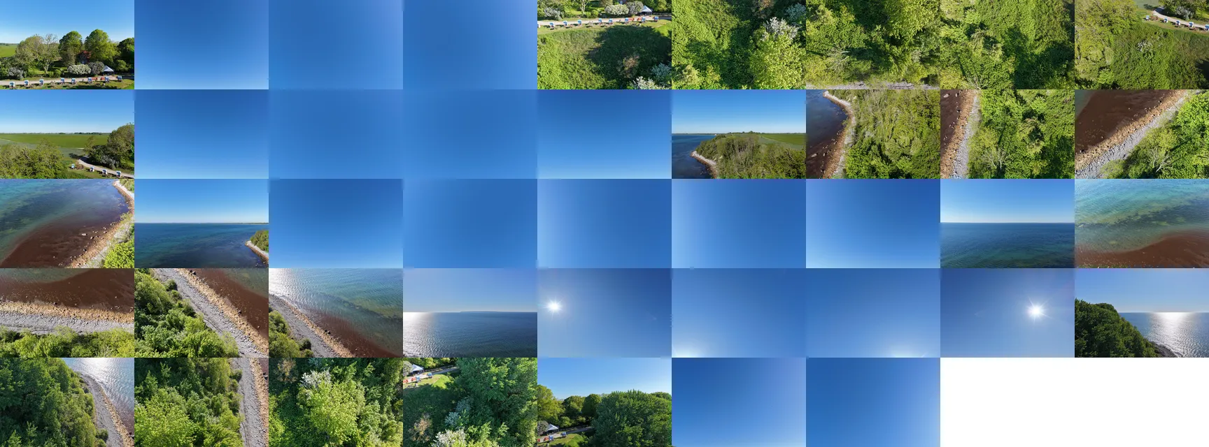
Why do the seams break?
Wind moves the drone between shots, and waves, cars and crowds leave ghosts. The light also changes from one photo to the next.
By hand: fly in calm air, let go of the sticks until the last photo, set exposure and white balance manually, then retouch what remains.
With Virtuaaa: photos are aligned on their content, and seams and light are blended automatically.
Where are the original photos of a sphere?
On the SD card, in a folder per sphere. On a DJI drone, it is DCIM/PANORAMA. An empty folder means the drone was not keeping them: turn on the saving of original photos in panorama mode.
Which drones take a sphere, and how far up does the gimbal go?
| Drone | Photos per sphere | Gimbal upwards |
|---|---|---|
| DJI Mini 2 | 26 | +20° |
| DJI Mini 3, Mini 3 Pro | Not published | +60° |
| DJI Mini 4 Pro | 35 | +60° |
| DJI Air 3, Air 3S | 33 | +60° |
| DJI Mavic 3 | 25 | +35° |
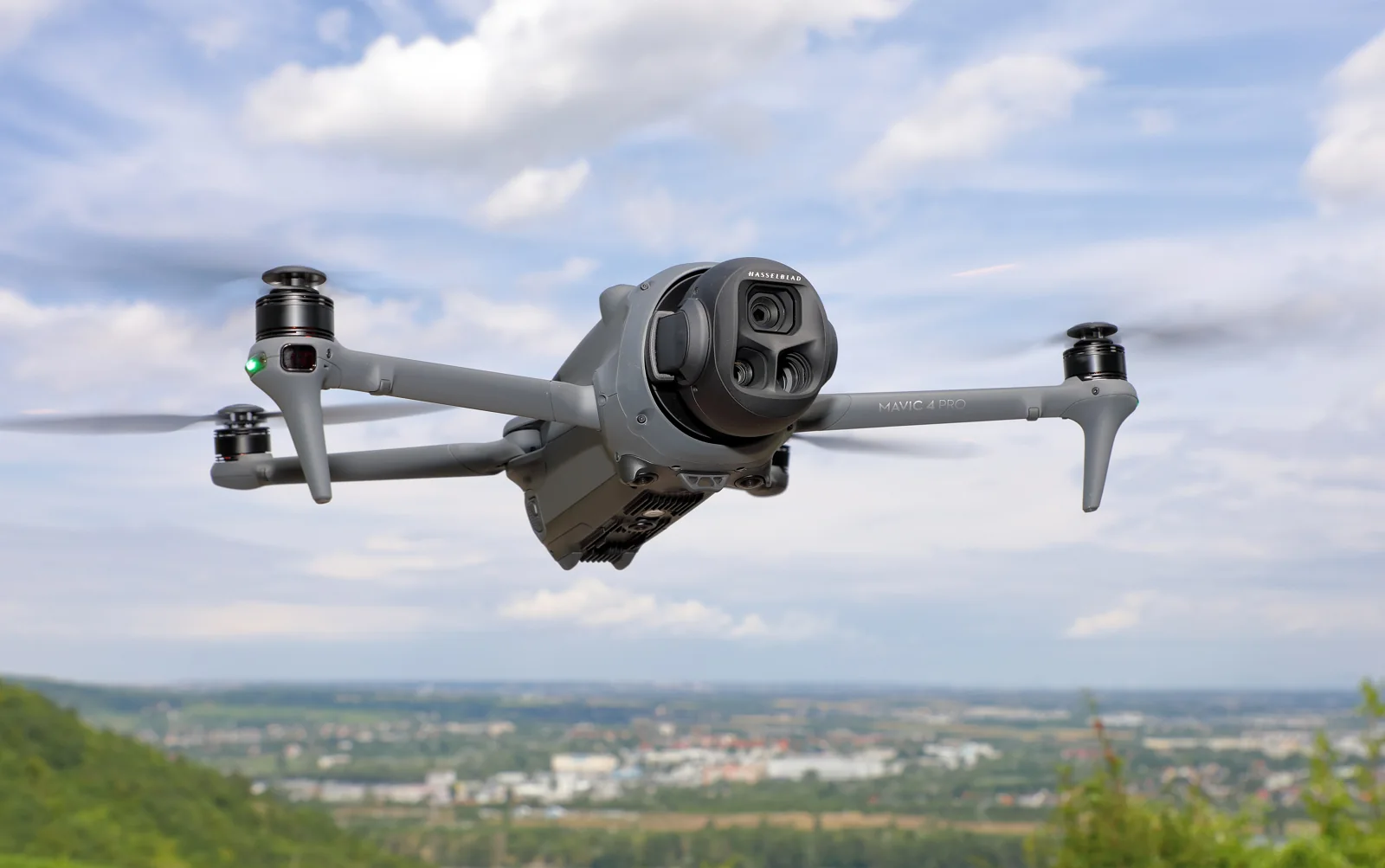
| DJI Mavic 4 Pro | Not published | +70° |
| Skydio 2, 2+ | 26 | +90° |
| Parrot Anafi | Not published | +90° |
From manufacturers' data sheets and pilots' counts. Modes change with updates: check your drone's manual. Names are trademarks of their owners.
Several spheres? Make an aerial tour
Upload the folders together: each sphere goes on a real map, and the visitor flies from one to the next. See how to create a drone virtual tour.
360 drone panoramas: the questions pilots ask
Does it work with my drone?
Yes. Virtuaaa reads the gimbal angles of DJI, Parrot, Skydio and Autel photos; for other drones, the photos alone are enough.
Which drones photograph the whole sky?
Few: the camera must point straight up, as on a Skydio 2 or a Parrot Anafi. On the others, the top of the sky has to be completed.
Why does my panorama display flat once published?
A 360 photo needs the 2:1 format, even dimensions and its 360 metadata, which retouching software often erases.
How high can I fly?
Up to 120 m in the Open category in Europe, 400 feet in the United States.
What does it cost?
Stitching is part of the free trial. The tour costs $10 when you keep it, paid once.
Your drone sphere, corrected automatically
Full sky, straight horizon, clean seams, with every drone. The trial is free.
A question about your files? [email protected]
More articles
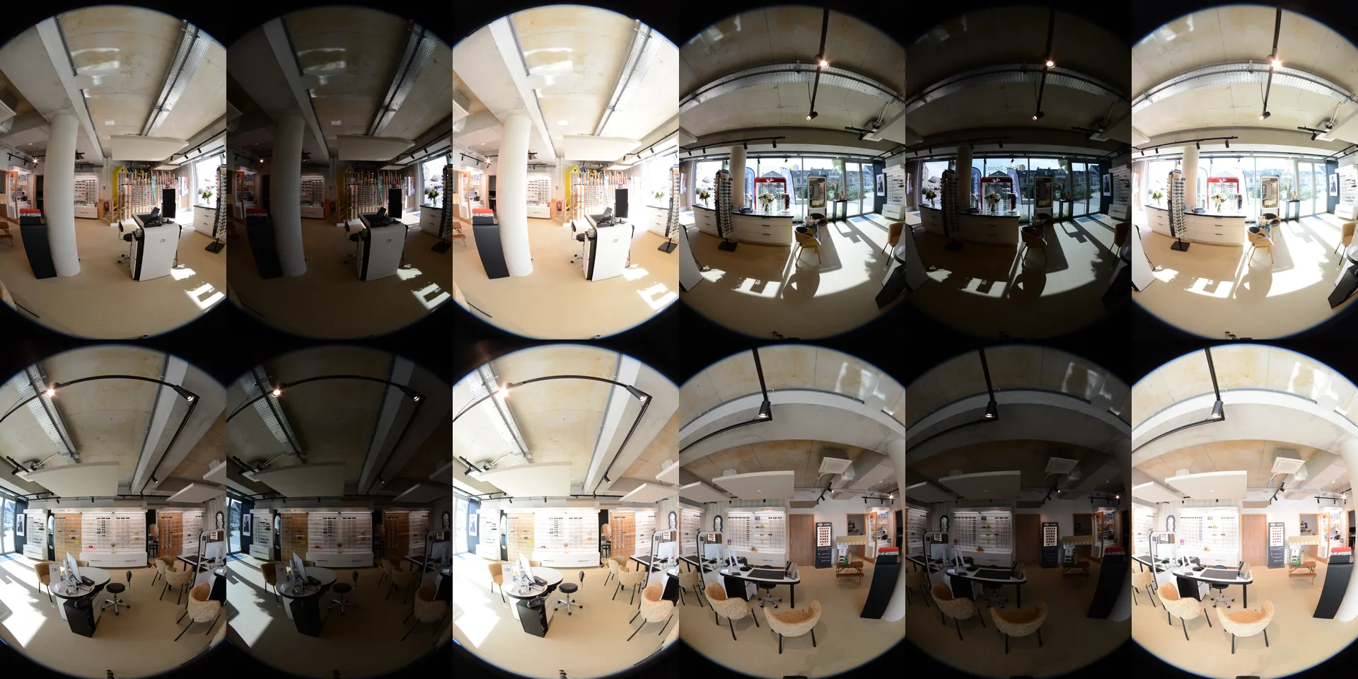 How do you stitch DSLR photos into 360 panoramas automatically?Upload the whole shoot: panoramas up to 16K, tripod removed, then a 3D tour with floor plan and dollhouse.
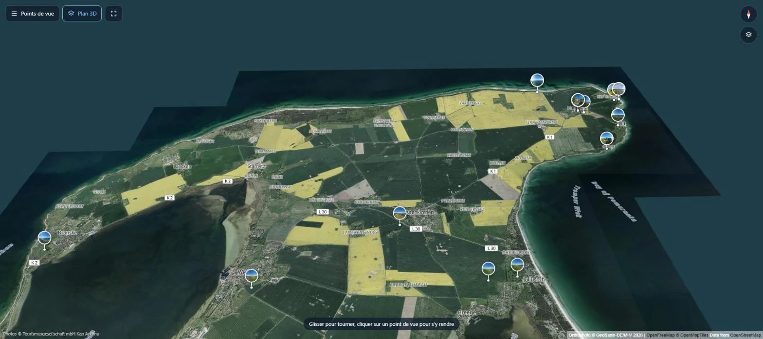 Which solution to create a drone virtual tour?Most tools need finished panoramas and points placed by hand. Virtuaaa builds the aerial tour from your raw folders, on a real map.
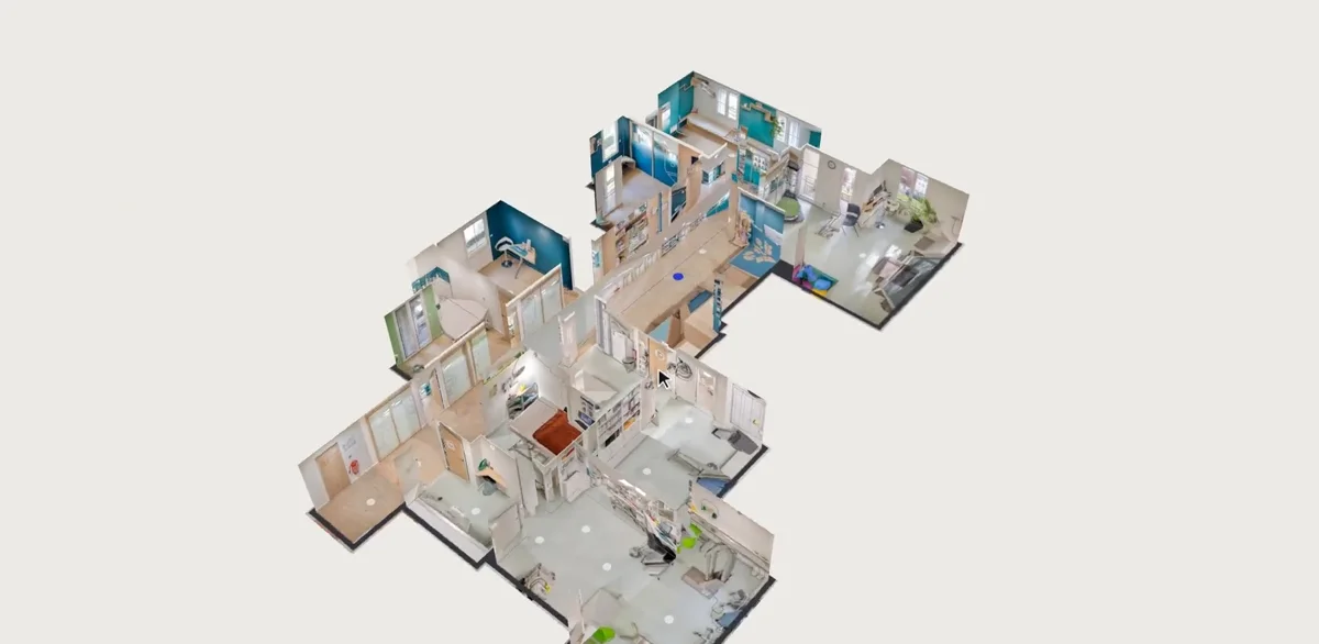 How do you build a virtual tour automatically in 3D?Place, link, animate: what is done by hand in classic software, and the 3D tour that builds itself from your panoramas.
 What is the best software to create a 3D virtual tour?Twelve tools compared, with their prices and a tour to open for each, and what 10 tours kept for 3 years cost.