Which solution to create a drone virtual tour?
A drone tour links several spheres on a map. Virtual tour software expects finished panoramas and points placed by hand. Virtuaaa does it all: upload the raw folders of your spheres, they are stitched and placed from their GPS, and the tour is ready.
Create my aerial tour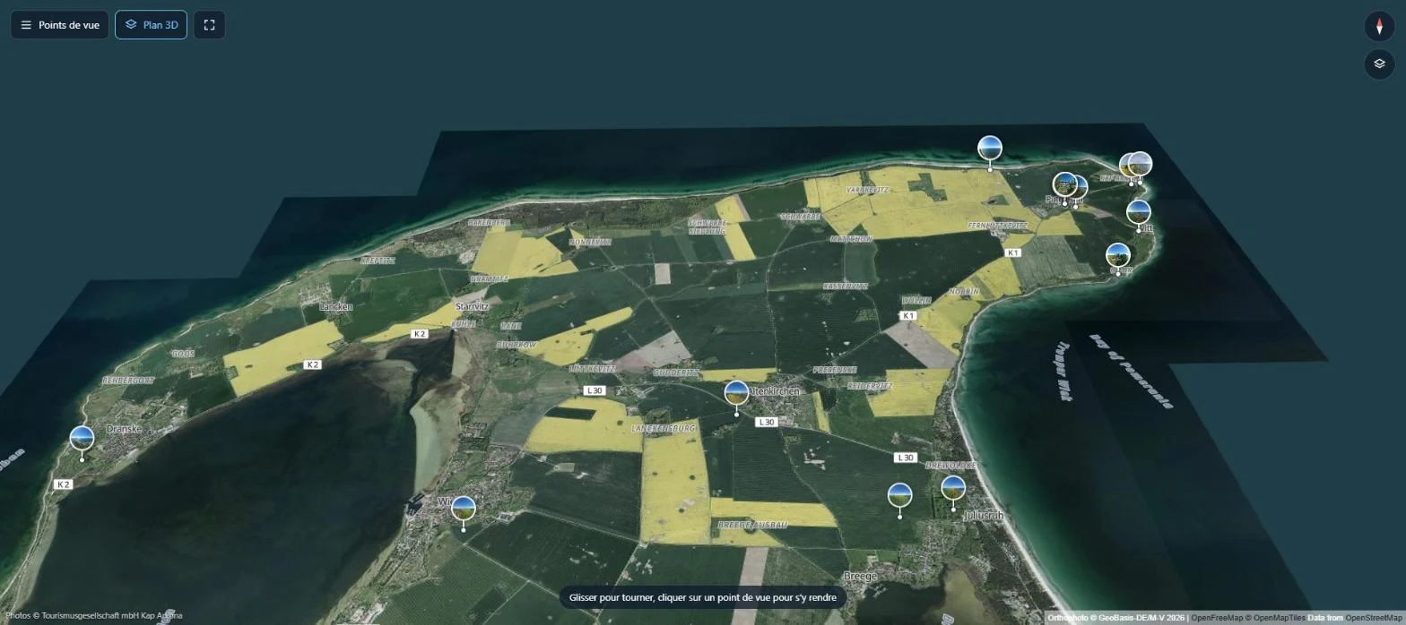
Why create your aerial tour with Virtuaaa
- From the raw folders. Sky, horizon and seams corrected automatically, for every drone.
- On a real map. Each sphere is placed from its GPS, north corrected.
- Yours to customise: logo, menu of viewpoints, points of interest.
- From the sky to the ground. Add panoramas taken on the ground to the same tour.
- $10 per tour, paid once. The trial is free.
Which solution for an aerial tour?
| Step | Classic tour software | Virtuaaa |
|---|---|---|
| Stitch the spheres | Beforehand, in stitching software | Automatic, from the raw folders |
| Sky and horizon | To retouch beforehand | Corrected automatically |
| Place on a map | Points to place or correct by hand | Automatic from the GPS |
| Move around | Arrows or a list of points | Flight from one sphere to the next |
| Add the ground | Depends on the tool | Ground panoramas in the same tour |
| Price | Usually a subscription | $10 per tour, paid once |
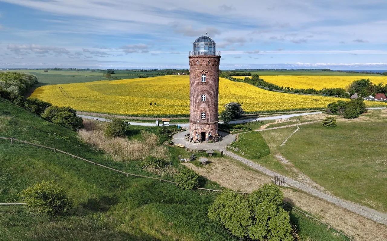
What does an aerial tour look like?
A coast seen from 15 viewpoints, from 7 to 120 m above the ground. The visitor clicks on a point and flies there.
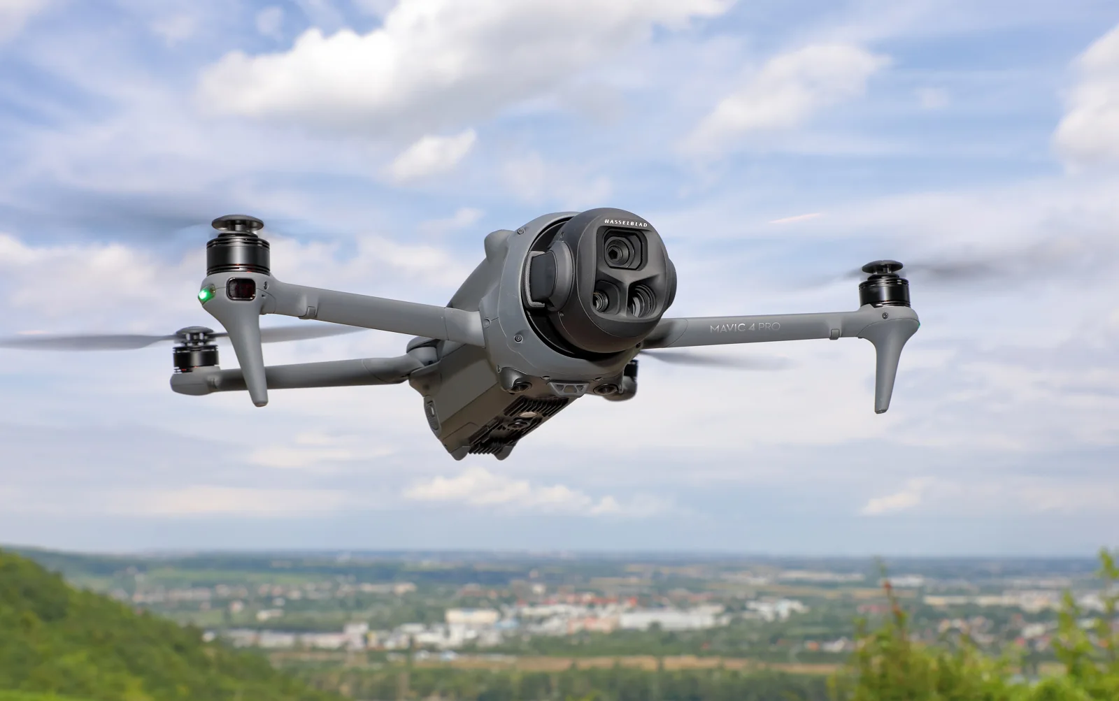
How do you shoot the spheres?
- One sphere per viewpoint, with the original photos saved.
- Calm air, sticks released until the last photo.
- Vary the height to show the place from close and from far.
- Stay under the legal ceiling: 120 m in Europe, 400 feet in the United States.
Drone virtual tours: the questions people ask
Do I have to stitch the spheres first?
No. Upload the raw folders from the SD card; each sphere is stitched automatically.
Which drones work?
DJI, Parrot, Skydio and Autel: their gimbal angles are read. For other drones, the photos alone are enough.
Can I connect the aerial tour to an interior?
Yes. Add panoramas taken on the ground, and the visitor goes from the sky to the inside of the building.
What does it cost?
The trial is free. The tour costs $10 when you keep it, paid once, up to 150 panoramas.
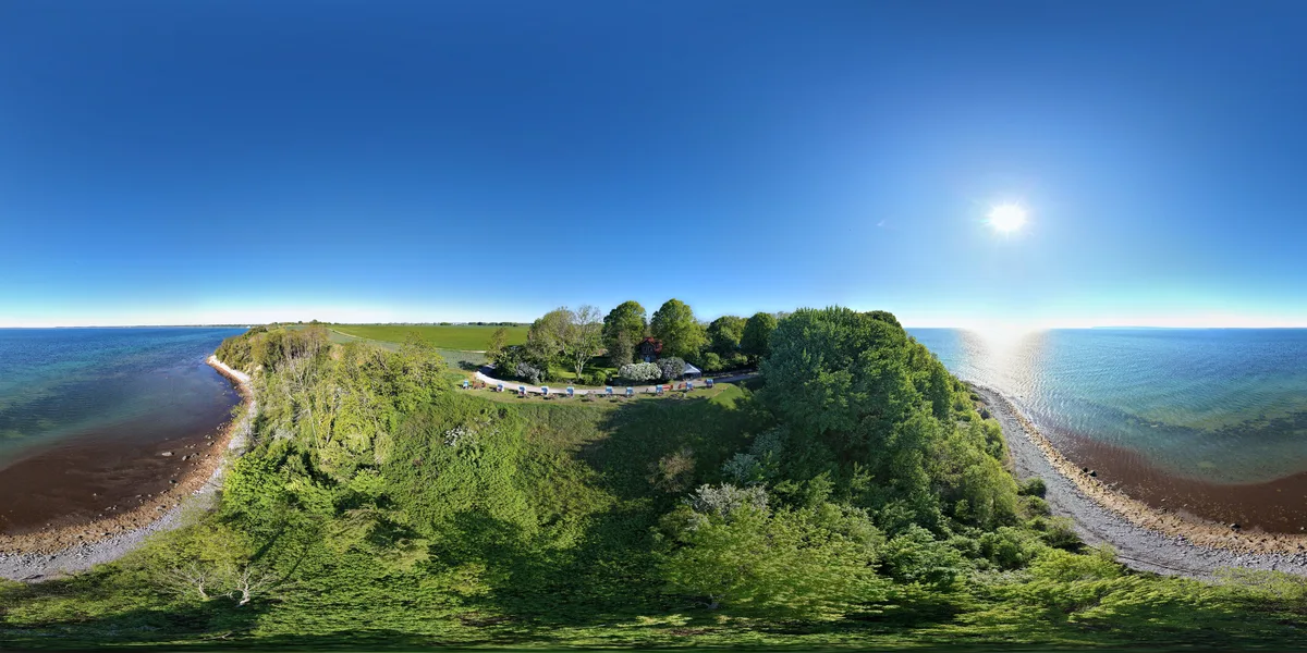
Your spheres, as an aerial tour on a real map
Upload the folders: stitching, map and tour are automatic. The trial is free.
A question about your files? [email protected]
More articles
How do you stitch a perfect drone panorama automatically?Broken seams, a hole in the sky, a tilted horizon: the causes, the manual fixes, and the stitching that corrects it all automatically. What is the best software to create a 3D virtual tour?Twelve tools compared, with their prices and a tour to open for each, and what 10 tours kept for 3 years cost.
 How do you stitch DSLR photos into 360 panoramas automatically?Upload the whole shoot: panoramas up to 16K, tripod removed, then a 3D tour with floor plan and dollhouse.
 What is the best camera for a 3D virtual tour?360 cameras, DSLR, phone and LiDAR compared: photo, files, API and price, with the camera to choose for your need.